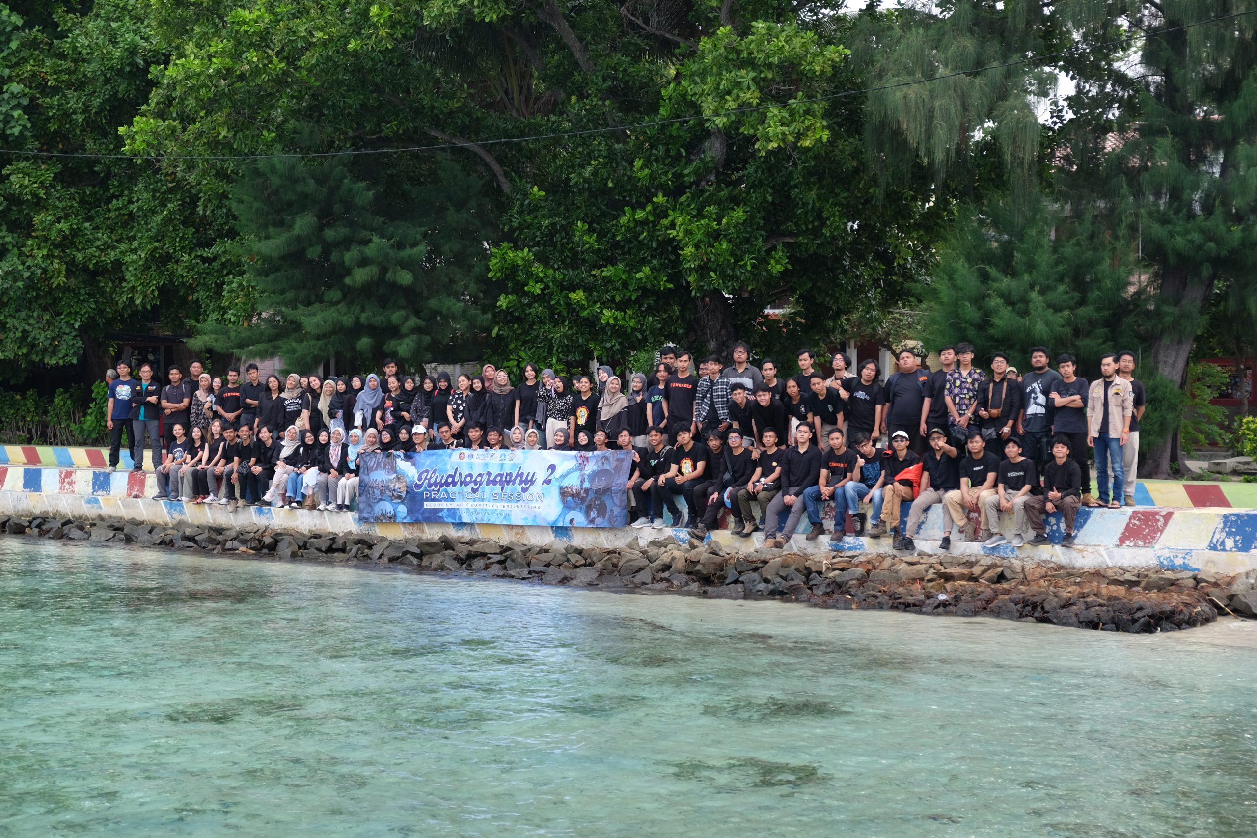
Written by: Adrian Lubis (15121016) and Putri Nur Azizah (15121011) On 3-5 May 2024, we carried out Hydrography II Practical Session in Pramuka Island, north of Jakarta, as part of the mandatory courses of the third year batch of Geodesy and Geomatics Engineering Undergraduate Programme. In this course, we focused on the dynamics of the…
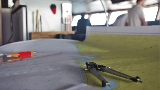
Read MoreWritten by: Gabriella Alodia, Ph.D.Lecturer and Researcher in Hydrography Research GroupFaculty of Earth Sciences and Technology, Institut Teknologi Bandung When we talk about natural resources in the seas, we mainly talk about those situated in our own territorial waters. How about the high seas? Are we ready to discuss the potential of natural resources outside…
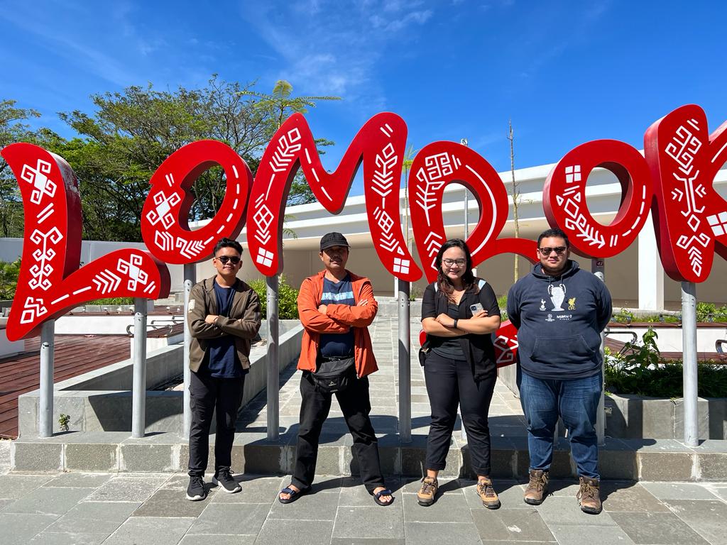
Read MoreWritten by: Briantara Revidinda Putra (25123013), Tatiana Zalfa (15120017), and Delia Angelika Sirait (15120036) When we heard that our research proposal has been selected to be funded by the “Program Penelitian, Pengabdian kepada Masyarakat, dan Inovasi” or PPMI from the Faculty of Earth Sciences and Technology, Institut Teknologi Bandung, we were thrilled! Our hard work…
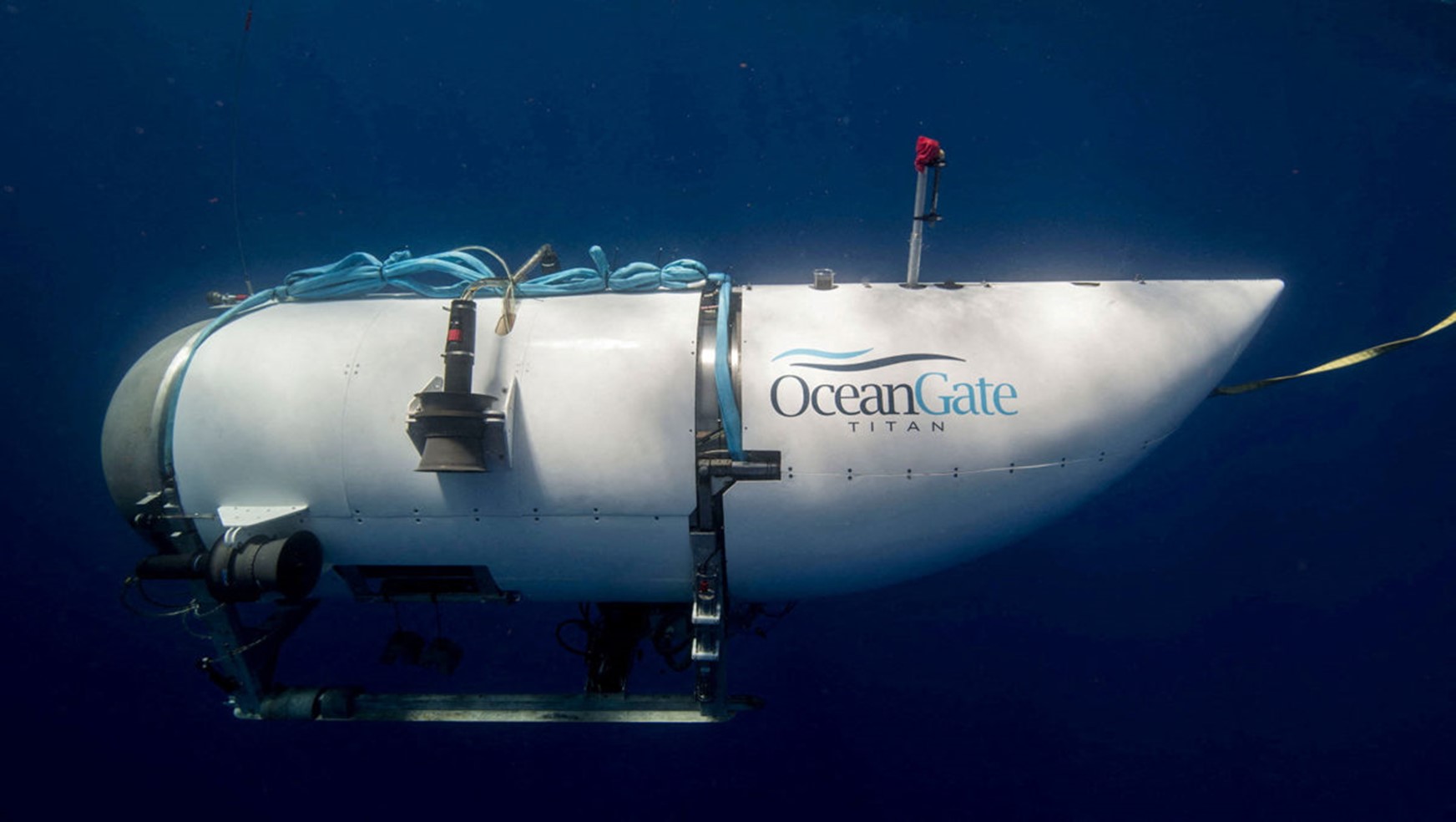
Read MoreWritten by: Fickrie Muhammad, M.Sc.Lecturer at Hydrography Research Group, Faculty of Earth Sciences and Technology, Insitut Teknologi BandungPhD Candidate at Geodesy and Geomatics Study Programme, Institut Teknologi Bandung and HafenCity University Hamburg Introduction The recent incident involving the exploration of the Titan submarine by OceanGate Inc has garnered significant attention worldwide. This event has been…
Read MoreWritten by: Briantara Revidinda Putra (15119008) Continued from Part 1… In the first week, we explored the city of Brest and Lorient. In Brest, we visited the Port of Brest, which is a military port, the fish market, and Institut Universitaire Europeen de la Mer (IUEM). At IUEM, we listened to presentations regarding the programs…
Read MoreWritten by: Briantara Revidinda Putra (15119008) “I am pleased to announce that you have been selected as a recipient of the French + Science Scholarship 2023,” says an email from Campus France only one day after my final interview. It was like a cream come true! The French + Science, or F+S, was a programme…
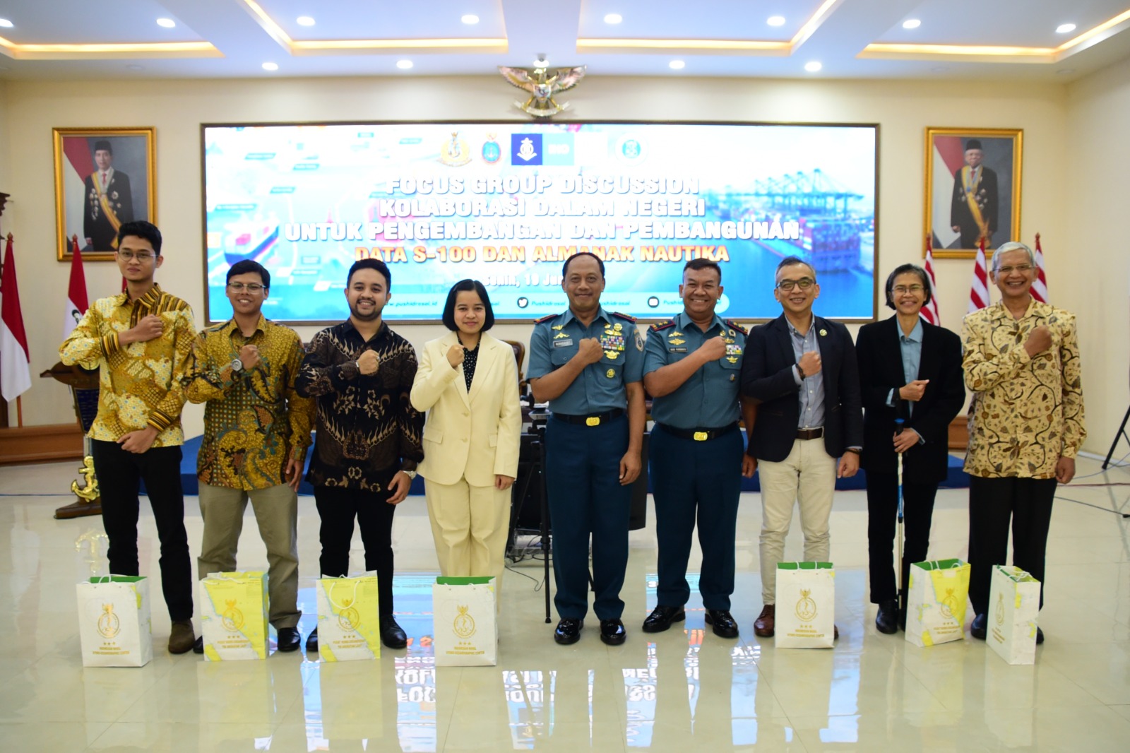
Read MoreWritten by: Hanif Satrio Dwiandoko (15119076) and Farras Hafizh Rizqy (15119071) Since the birth of Electronical Navigational Charts (ENC) in the early 1990s, the International Hydrographic Organization (IHO) released the S-57 standard as digital hydrographic data has become a critical element in ensuring safety in marine navigation. In response to the developments in the world…
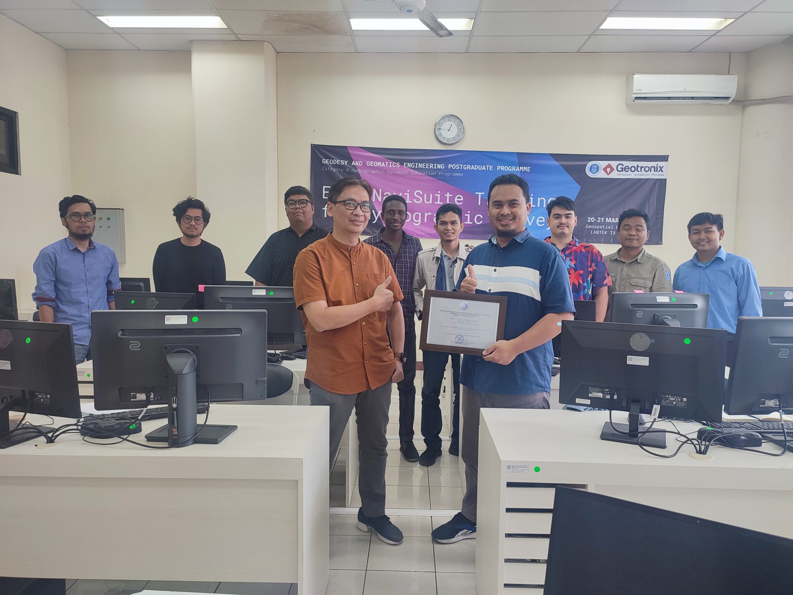
Read MoreOn 20-21 March 2023, Geodesy and Geomatics Engineering Postgraduate Programme held an in-house software training called the “EIVA NaviSuite Training for Hydrographic Survey.” The training was held as part of the H6: Hydrographic Data Acquisition and Processing Module for the Category A Hydrographic Surveyor Programme, as required in the FIG/IHO/ICA S-5A Standards. The training was…
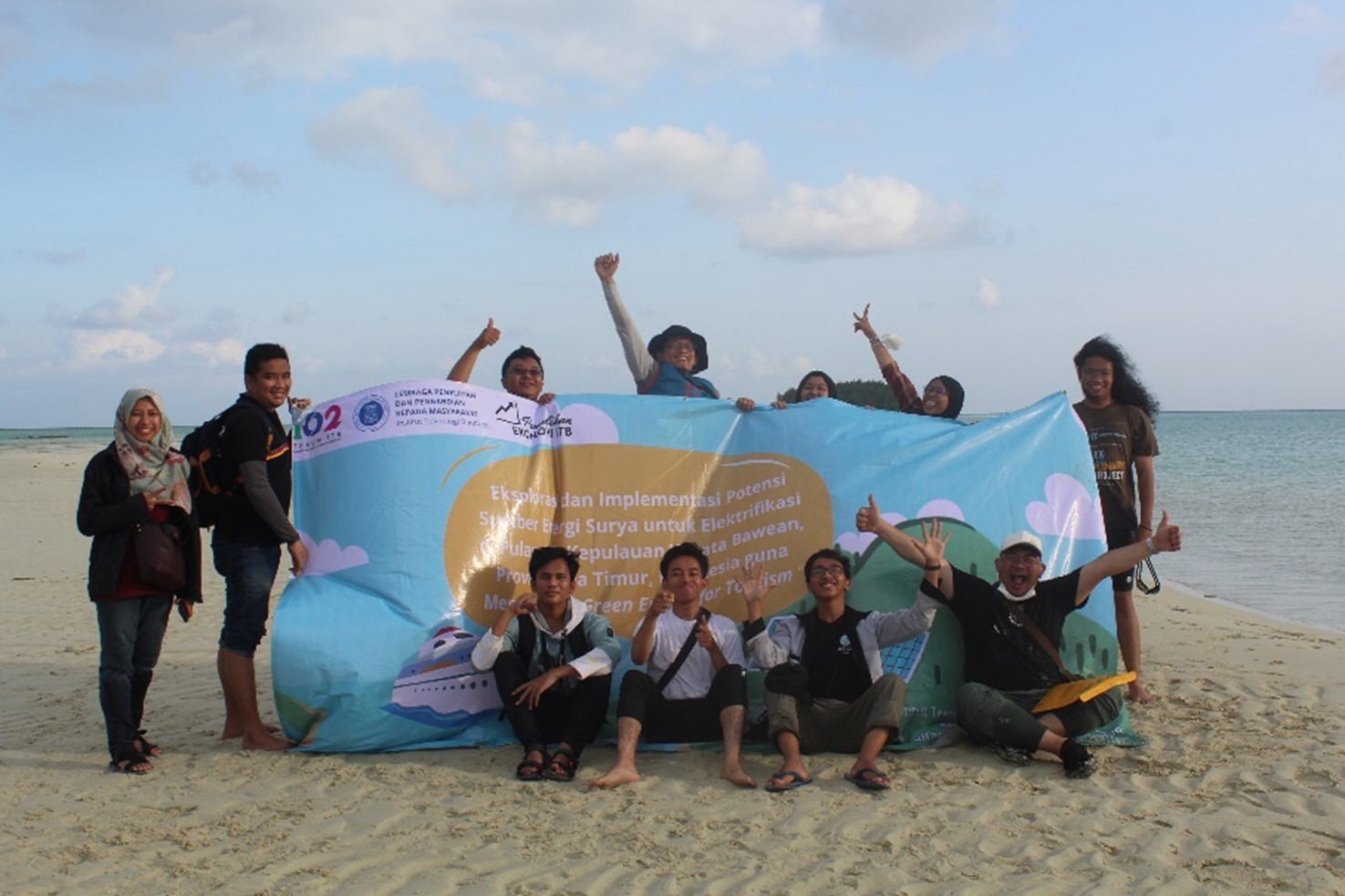
Read MoreWritten by: Zul Khoiron Nst (15118010) At the end of July 2022, Hydrographic Research Group of ITB in collaboration with the Physics Engineering Team of ITS carried out a community service in Gili and Bawean Islands, East Java. The community service was carried out as a form of participation of the two teams in helping…
Read MoreWritten by: Ana Iffah Sabila (15119056) & Raden Almafayra Z. F. (15120051) A 7.4 Mw earthquake occurred in The Flores Sea on 27 December 2021, followed by a 7 cm-high tsunami. According to BMKG, the earthquake happened in strike-slip mechanism. Meanwhile, from the existing fault maps in the Flores Sea, no strike-slip fault has been…
Read More