Written by: Briantara Revidinda Putra (25123013), Tatiana Zalfa (15120017), and Delia Angelika Sirait (15120036)
When we heard that our research proposal has been selected to be funded by the “Program Penelitian, Pengabdian kepada Masyarakat, dan Inovasi” or PPMI from the Faculty of Earth Sciences and Technology, Institut Teknologi Bandung, we were thrilled! Our hard work has paid off and we were so excited to go to the field. Our team consists of Dr. Dwi Wisayantono, Prof. Eka Djunarsjah, Mr. Miga Magenika Julian, Mr. Andika Permadi Putra, Nafandra Syabana Lubis, Briantara Revidinda Putra, Tatiana Zalfa, and Delia Angelika Sirait. The community service was held from 17 to 21 July 2023. Before the field work, we conducted a reiteration to create sea boundary maps using both equivalent and equal-area approaches, aiming to minimize the difference in the area between Bali and West Nusa Tenggara Provinces, which is divided by the Lombok Strait. The iterative process yielded in a calculated difference of up to 10 square meters. In addition to the map produced through iteration, we also created posters as materials that we used for socialization with the village and port authorities.
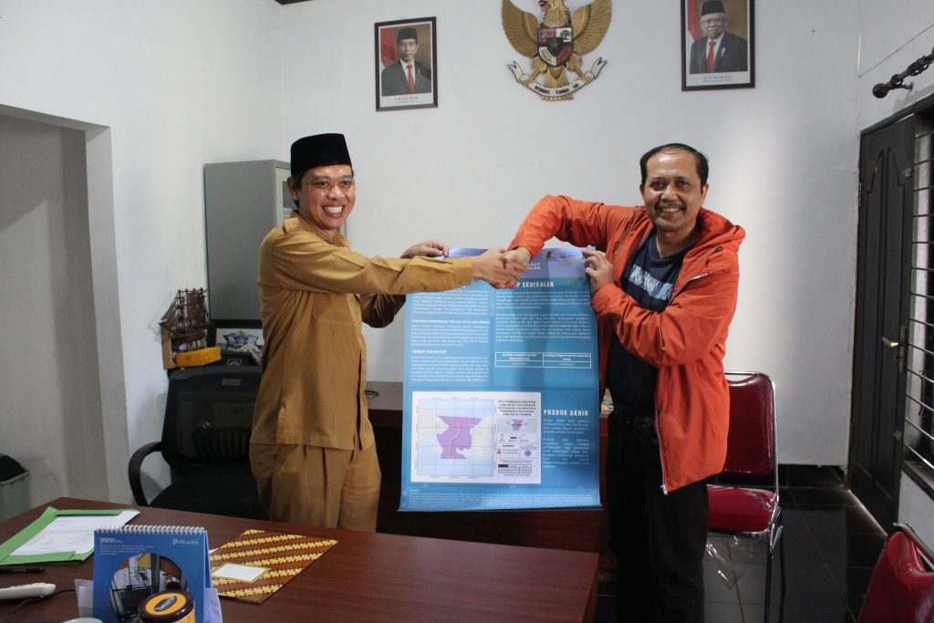
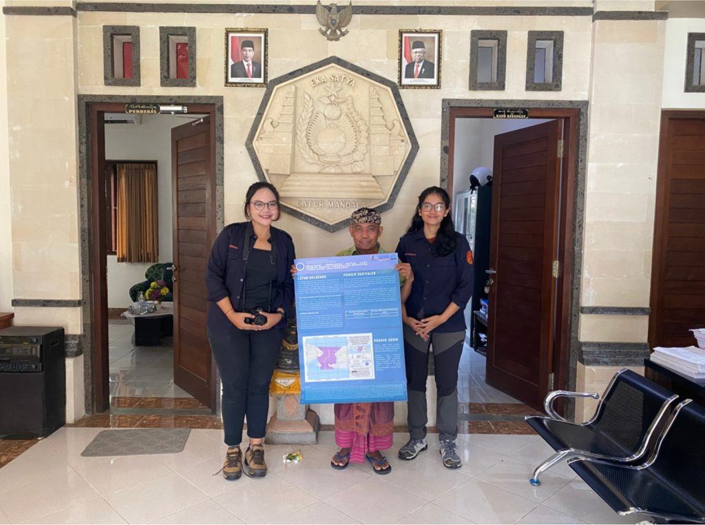
Socialization at Village Offices. Top: At Lembar Selatan Village Office with Mr. H. Beni Basuki. Bottom: At Manggis Village Office with Mr. I Nengah Merta.
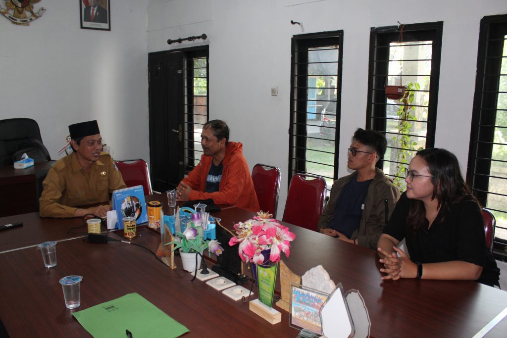
The day of our field trip had finally arrived. Unfortunately, one of our research team members, Tatiana Zalfa, could not join us on the initial journey due to prior commitments. She caught up with us the next day. On the first day, we landed at the Lombok International Airport “Lombok Praya.” We had lunch and continued our journey to the Lembar Selatan Village Office. As we arrived to the office, we conducted a socialization directly to the village officials, namely the head of the village, Mr. H. Beni Basuki. In the socialization, we explained the purpose of our research, which was about regional sea boundary determination using equivalent approach. After conducting the socialization, we continued our journey to Kantor Kesyahbandaran dan Otoritas Pelabuhan (KSOP) Class III Lembar with the same intent and purpose, which was to conduct a socialization of our research. The port authority welcomed our intentions and objectives. However, they reported that there has never been a problem related to the sea boundary in the Lombok Strait, specifically between Lombok and Bali.
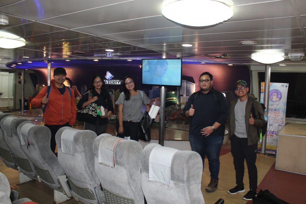
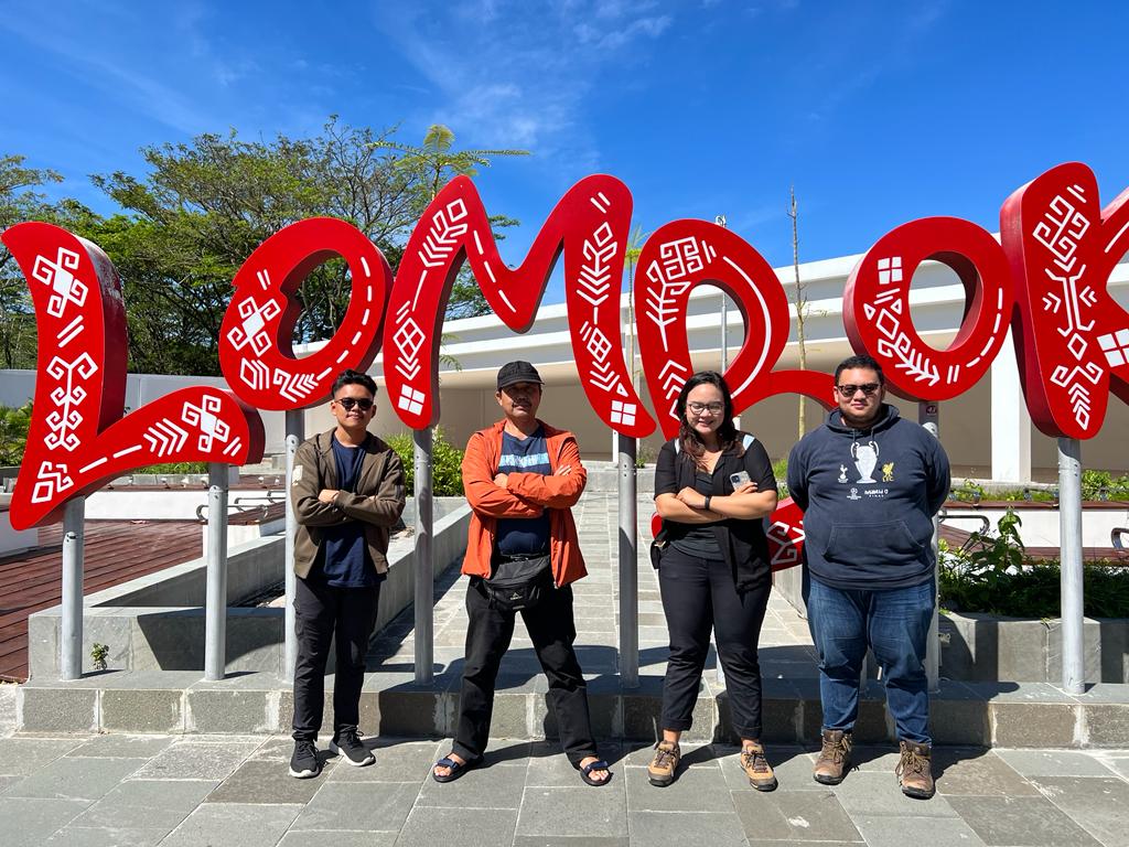
Our team, ready to sail the Lombok Strait!
On the second day, we travelled from Lombok to Bali by crossing the Lombok Strait using a Ferry. The journey took approximately 3-4 hours. That evening, we looked for a hotel and planned our next socialization activity at the Manggis Village Office. The following day, Tatiana and Delia, accompanied by Mr. Andika, departed to conduct the socialization at the Manggis Village Office with Mr. I Nengah Merta. We successfully explained our alternative approach to determining sea boundaries. We also asked the officials at Manggis Village Office whether there had ever been disagreements or disputes between local Bali fishermen and Lombok fishermen over fishing areas. The result was that for the case of the Lombok Strait, no disputes had been found.
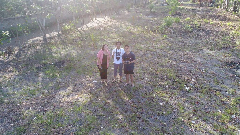
Coastline survey using drone at Lembar Beach, Lombok
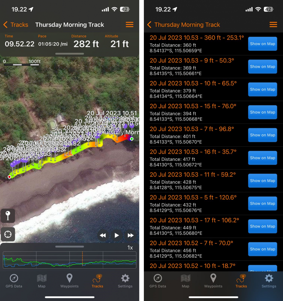
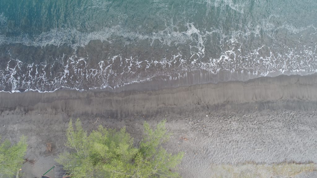
Coastline survey using GPS Tracker application at Pasir Hitam Beach, Bali
Meanwhile, Prof. Eka, Brian, and Anaf went to the coastal area to conduct a coastline survey. The survey was conducted using a Dji Phantom 4 Pro Drone by taking pictures from the air, which will later be used as a reference for drawing the regional sea boundaries. The drone was flown on two beaches that faces each other; one in Lombok (Lembar Beach) and the other in Bali (Pasir Hitam Beach). At Lembar Beach, the drone was able to fly and photograph the coastline well due to the wind conditions that met the safe conditions for the drone to fly. However, at Pasir Hitam Beach, the wind was blowing over 10 m/s, which was too dangerous for the size our drone to fly. So the shoreline survey was carried out using the GPS Track application from one of our smartphone. This is in accordance with the drone flight guidelines which state, “Do not use the aircraft in severe weather conditions. These include wind speeds exceeding 10 m/s, snow, rain and fog.” Our team did not want to take risks.
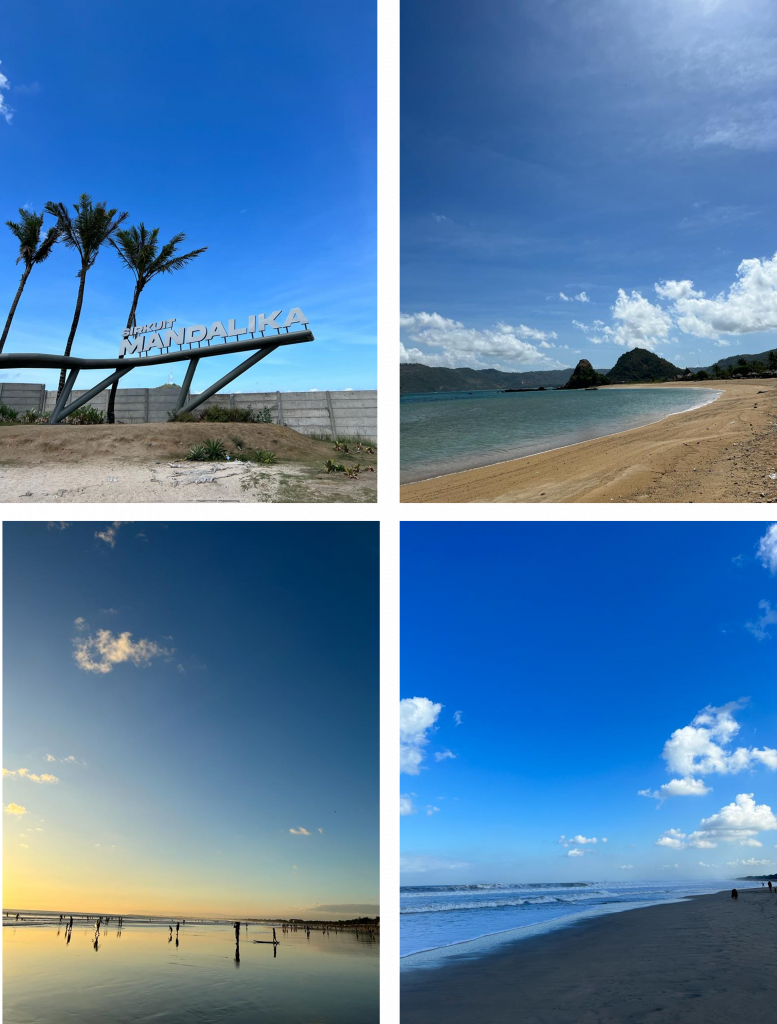
The beautiful beaches of Lombok and Bali
After all the socialization activities and ensuring the field data collection was well completed, we had some time left to enjoy Bali by visiting Kuta Beach before returning to Bandung. On the last day, we headed to I Gusti Ngurah Rai Airport for our Bali – Jakarta flight and continued our journey to Bandung. In this community service, it was found that the community, including the government, did not understand about regional boundaries at all, even though the local government (district including villages) received one-third of the provincial revenue related to marine resources. In addition, the equal area approach (the principle of equivalence) is proposed to be an alternative if there is a conflict in the issue of determining the boundaries of overlapping regions that cannot reach an agreement, namely by using the equal distance approach (the principle of equidistance). Through this community service, we hope we can help and encourage local governments to conduct socialization regarding provincial and regency/city authorities related to Regional Sea Boundaries. Such a great experience! See you in other time, Bali and Lombok!