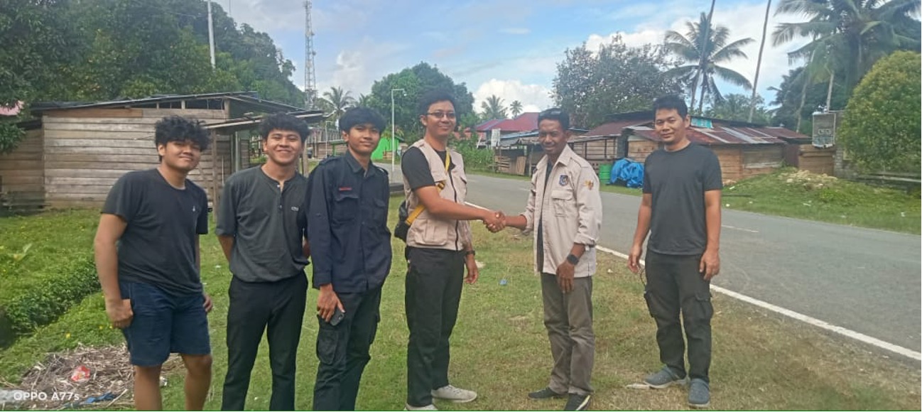
Written by: Miga Magenika Julian The absence of telecommunication infrastructure in Daerah 3T (Tertinggal, Terdepan, dan Terluar), such as Nursifa Village in Central Halmahera, North Maluku, has led to significant limitations in accessing crucial information that could improve livelihoods. Without internet access, villagers struggle to stay updated on commodity prices, healthcare developments, or new economic…
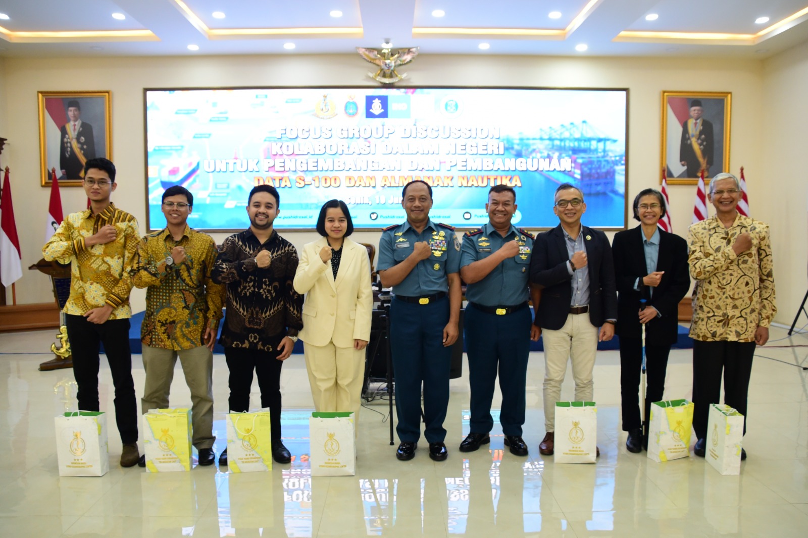
Read MoreWritten by: Madam Taqiyya Four students from Geodesy and Geomatics Engineering, Bandung Institute of Technology developed NAWH S-100 project as their capstone project (final project). They are Mochamad Hasnan, Raden Almafayra Z, Najiyah Nurul Faizah, and Wanda Putri. NAWH S-100 is the first IHO S-100 standardized data service system developed in Indonesia by Indonesians. The…
Read MoreWritten by: Briantara Revidinda Putra (25123013), Tatiana Zalfa (15120017), and Delia Angelika Sirait (15120036) When we heard that our research proposal has been selected to be funded by the “Program Penelitian, Pengabdian kepada Masyarakat, dan Inovasi” or PPMI from the Faculty of Earth Sciences and Technology, Institut Teknologi Bandung, we were thrilled! Our hard work…
Read MoreWritten by: Hanif Satrio Dwiandoko (15119076) and Farras Hafizh Rizqy (15119071) Since the birth of Electronical Navigational Charts (ENC) in the early 1990s, the International Hydrographic Organization (IHO) released the S-57 standard as digital hydrographic data has become a critical element in ensuring safety in marine navigation. In response to the developments in the world…
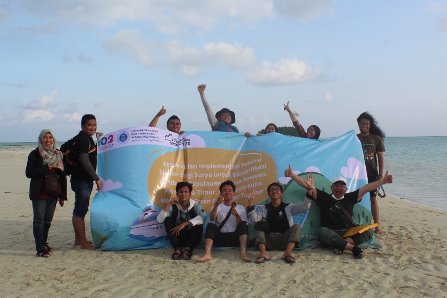
Read MoreWritten by: Zul Khoiron Nst (15118010) At the end of July 2022, Hydrographic Research Group of ITB in collaboration with the Physics Engineering Team of ITS carried out a community service in Gili and Bawean Islands, East Java. The community service was carried out as a form of participation of the two teams in helping…
Read MoreWritten by: Ana Iffah Sabila (15119056) & Raden Almafayra Z. F. (15120051) A 7.4 Mw earthquake occurred in The Flores Sea on 27 December 2021, followed by a 7 cm-high tsunami. According to BMKG, the earthquake happened in strike-slip mechanism. Meanwhile, from the existing fault maps in the Flores Sea, no strike-slip fault has been…
Read MoreWritten by: Amalia Fadilla (15119072) On 8-28 August 2022, I was involved in the Widyatama Nusantara Expedition, initiated by the National Innovation and Research Agency (BRIN). The project invited five undergraduate students across the nation to participate in the expedition through a series of selection processes. The purpose of this expedition is to uncover the…
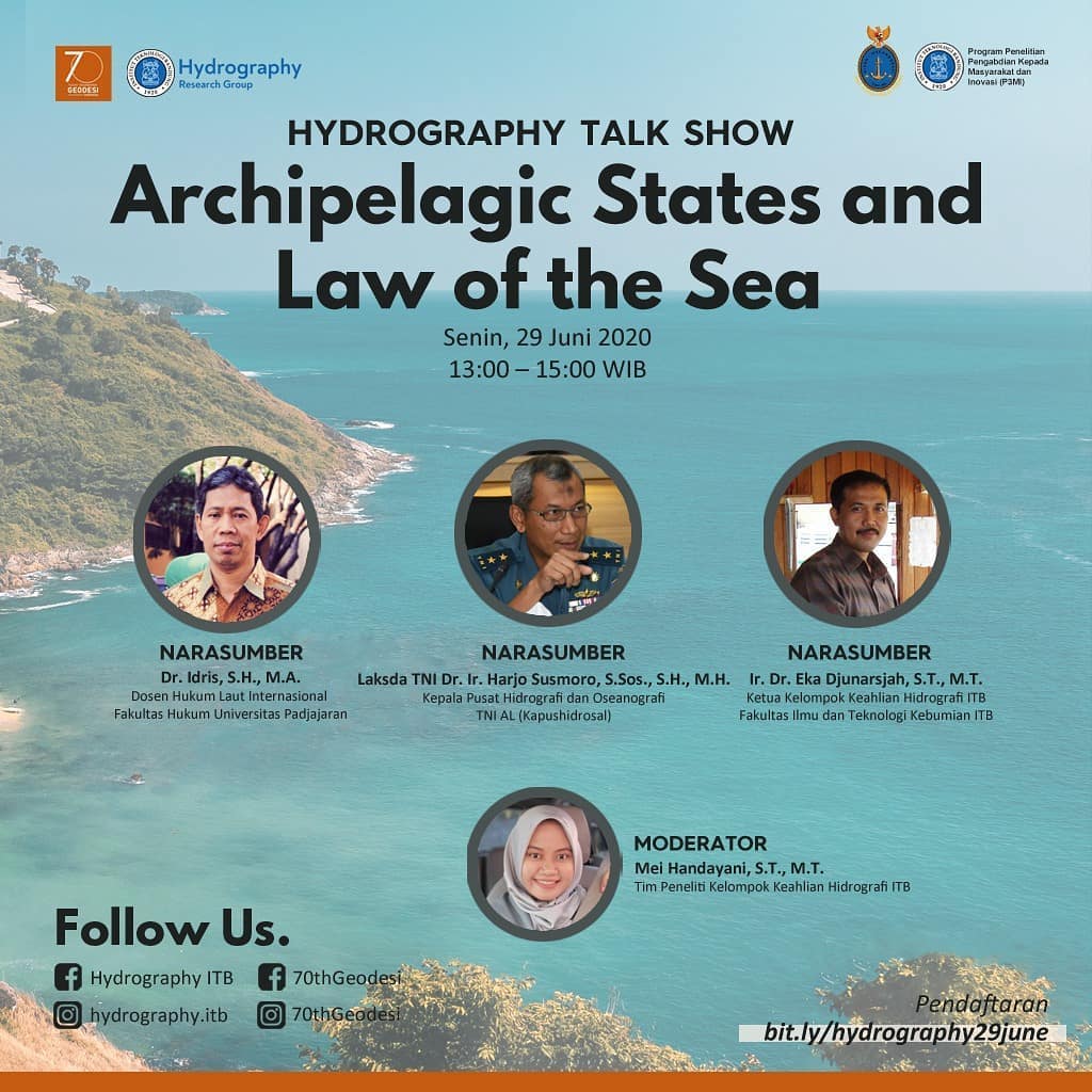
Read MoreOn Monday, 29 June 2020, we held an online talk show titled “Archipelagic States and Law of The Sea,” which was attended by over 200 participants. The talk show was held as part of the celebration of the 70th anniversary of higher education in geodesy and geomatics in Indonesia. The speakers were: Dr. Idris, S.H.,…
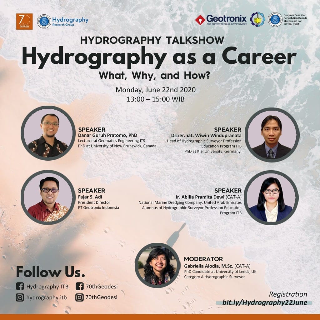
Read MoreOn Monday, 22 June 2020, we held an online talk show titled “Hydrography as a Career: What, Why, and How?,” which was attended by over 200 participants. The talk show was held as part of the celebration of the 70th anniversary of higher education in geodesy and geomatics in Indonesia. The speakers were: Danar Guruh…
Read More