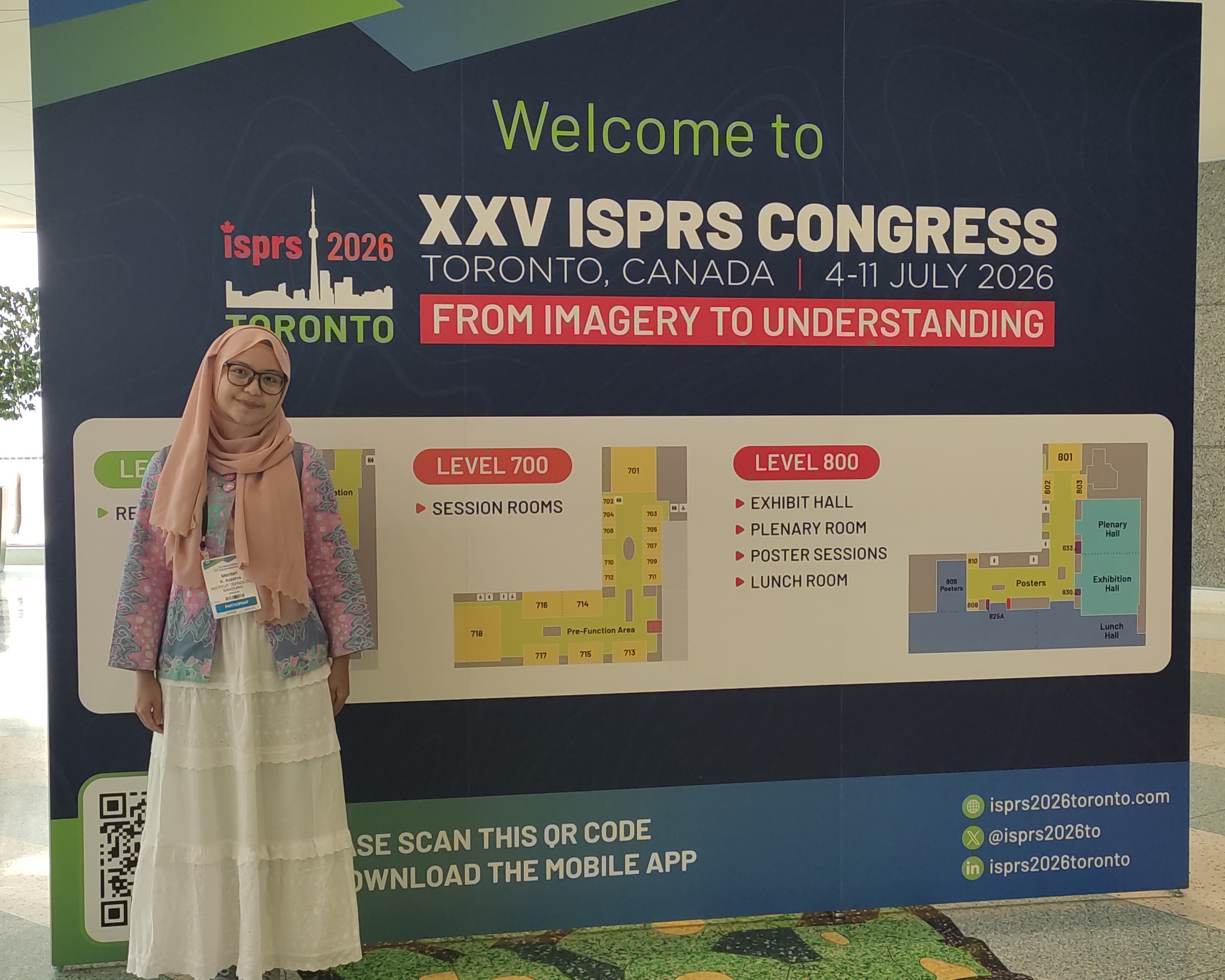
TORONTO, Canada – The International Society for Photogrammetry and Remote Sensing (ISPRS) has fostered international collaboration in the geospatial sciences since its establishment in 1910, marking 2026 as the 116th year of the organization’s continued cross-border cooperation. The XXV ISPRS Congress, held in Toronto, Canada, was organized under the leadership of the Canadian Remote Sensing Society, bringing together ISPRS member organizations and the global geospatial community to exchange ideas, research, and technological advancements.
The scientific program of the XXV ISPRS Congress featured the latest research, innovative applications, and collaborative developments in photogrammetry, remote sensing, and spatial information sciences. Its themes and topics were designed to reflect the diverse and evolving interests of the international geospatial community, providing a comprehensive platform for scientific exchange across disciplines.
Mentari Khoerunnisa Azzahra, a postgraduate student in Geodesy and Geomatics Engineering at Institut Teknologi Bandung (ITB), attended the XXV Congress of the ISPRS as a participant, held at the Metro Toronto Convention Centre from 4 to 11 July 2026.
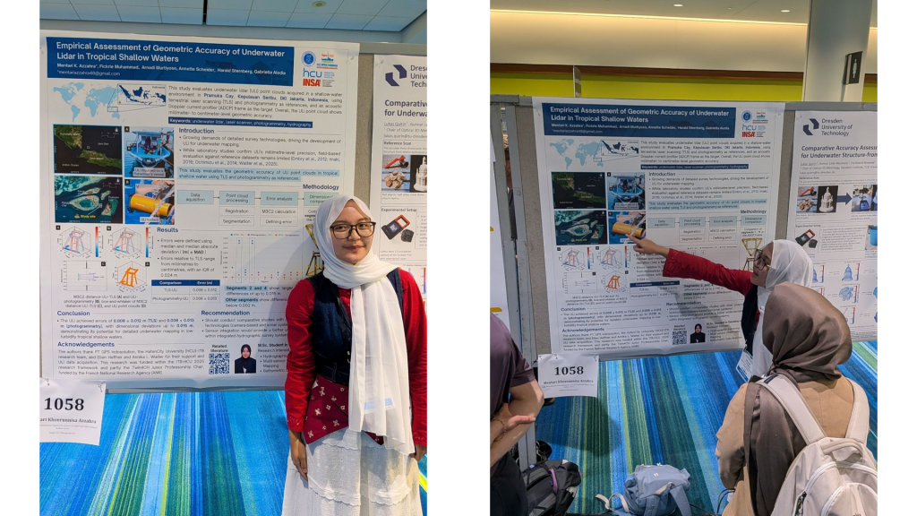
The peer-reviewed paper, titled Empirical Assessment of Geometric Accuracy of Underwater Lidar in Tropical Shallow Waters, was published in the International Archives of the Photogrammetry, Remote Sensing and Spatial Information Sciences on 23 July 2026. It was authored by Mentari K. Azzahra, along with Dr. Fickrie Muhammad, Dr. Arnadi Murtiyoso, Dr. Annette Scheider, Prof. Dr. Harald Sternberg, and Dr. Gabriella Alodia. Acces the published paper through the following link:
Empirical Assessment of Geometric Accuracy of Underwater Lidar in Tropical Shallow Waters
The study used data collected during a collaborative HCU-ITB campaign conducted from 19 to 28 September 2025 around Pramuka Island in the Kepulauan Seribu, Indonesia. The campaign brought together researchers and students from HafenCity University Hamburg (HCU) and ITB, supported by underwater LiDAR technology associated with the Fraunhofer Institute for Physical Measurement Techniques (IPM). This study empirically evaluates the geometric accuracy of point cloud data acquired using an underwater lidar (ULi) system in a tropical shallow water environment.
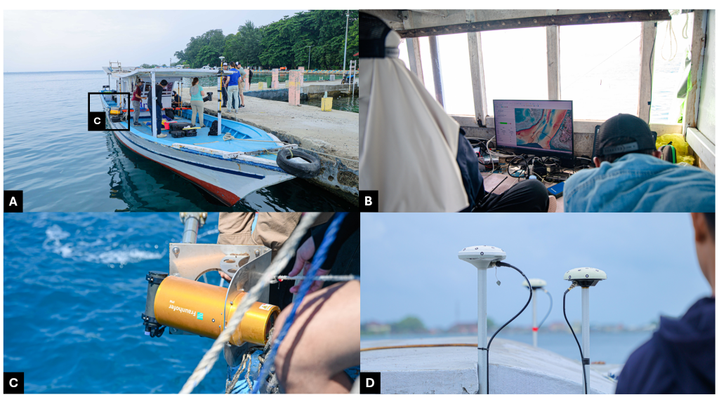
Mentari’s analysis focused on an acoustic Doppler current profiler (ADCP) frame used as a common mapping target. Before the marine survey, the frame was recorded on land using a Trimble X7 terrestrial laser scanner, with support from PT GPS Land Indosolution, and through close-range photogrammetry. These terrestrial laser scanning (TLS) and photogrammetric point clouds served as independent reference datasets for assessing the underwater LiDAR System ULi.
During the field survey, ULi was mounted on a fisherman’s vessel and used to scan the submerged ADCP frame in shallow water with high visibility. The point clouds were registered and segmented before their geometric differences were calculated using the multiscale model-to-model cloud comparison (M3C2) algorithm. Because the distance distributions were not normally distributed, the errors were characterised using the median and median absolute deviation (MAD).
The results showed an error of 0.008 ± 0.012 m between ULi and TLS and 0.006 ± 0.013 m between ULi and photogrammetry. For comparison, the difference between photogrammetry and TLS was smaller, at 0.002 ± 0.004 m. Dimensional comparisons of the ADCP frame showed differences from 0.000 to 0.015 m. The largest deviations occurred around selected edge segments, while most other segments were within approximately 0.002 m.
These results indicate that the ULi point cloud achieved millimetre-to-centimetre geometric consistency with the terrestrial reference datasets. The system did not match the precision of the land-based methods, but it demonstrated reliable performance for detailed object mapping in tropical shallow water with low turbidity.
The findings should be interpreted within the conditions tested. Optical underwater systems depend strongly on water clarity, sensor-to-object distance and the quality of positioning and navigation. Performance in turbid water, deeper environments or longer measurement ranges may therefore differ. The study also identified edge-related artefacts as an area for further improvement in filtering and processing.
The wider HCU-ITB campaign examined how underwater LiDAR, airborne bathymetric LiDAR, multibeam sonar, photogrammetry and satellite observations can complement one another. This multi-sensor approach supports a more complete understanding of coastal and underwater environments than any single technology can provide.
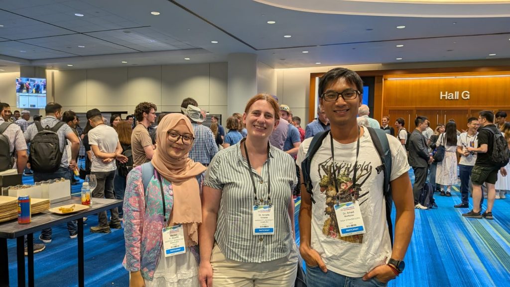
Mentari’s participation in ISPRS 2026, accompanied by her supervisor Dr. Annette Scheider and examiner Dr. Arnadi Murtiyoso, demonstrates how international field collaboration can support postgraduate research, sensor validation and the development of high-resolution underwater mapping methods. It also strengthens continuing cooperation among ITB, HCU Hamburg, INSA Strasbourg, Fraunhofer IPM and industry partners in hydrographic and three-dimensional geospatial research.
Beyond presenting her own research, the ISPRS 2026 conference also provided Mentari with valuable opportunities to broaden her expertise through dedicated tutorial sessions and to forge meaningful connections with fellow researchers from across the globe. One of the key highlights was her participation in the hands-on tutorial of “A Full Immersion in 3D Underwater Mapping,” which delved into a comprehensive range of underwater mapping techniques.
This session covered the POSER Simulation Framework, a 3D simulation tool designed for teaching underwater imaging principles; two parts on LiDAR-Bathymetry, with the first introducing the basic principles of Airborne Laser Bathymetry (ALB) through hands-on processing of river and lake datasets using OPALS, and the second advancing into the processing of bathymetric full-waveform data using ALB FWF VoxLab; and finally, a module on Photo-Bathymetry, which explored the modelling of water refraction through Snell’s Law and wavy water surfaces, with practical applications carried out using WebODM, OPALS, and SeqPro.
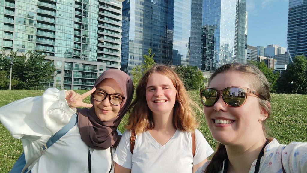
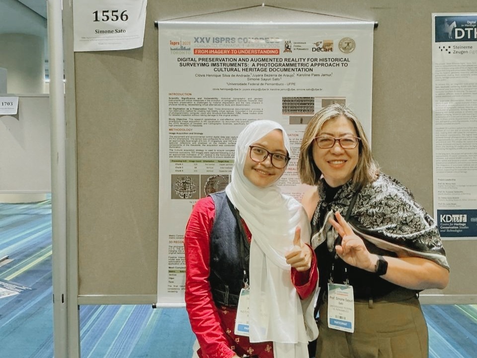
ISPRS 2026 also gave Mentari the chance to meet and exchange knowledge with fellow researchers from around the world, including Laurine Nogue (Laboratory of Biology of Aquatic Organisms and Ecosystems, France) and Nadia Grogan (heritage conservation advisor at the Canadian Conservation Institute). She also had the opportunity to meet Prof. Simone Sayuri Sato from Brazil during the poster session.
These interactions reflect how conferences like ISPRS serve not only as a platform for presenting research, but also as a space for continuous learning and international collaboration—connections that may open doors for future academic exchange and joint research.