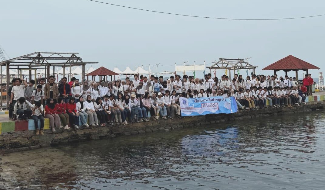
Written by: Alena Cansery PRAMUKA ISLAND, KEPULAUAN SERIBU, INDONESIA – How do hydrographers measure the ocean and map the seafloor? These questions were explored by students during the Hydrography Practical Excursion 2026, held from 23 to 25 October 2026 at Pramuka Island, Kepulauan Seribu, Indonesia. The three-day excursion provided an opportunity for students to apply…
Read MoreCalendar
| M | T | W | T | F | S | S |
|---|---|---|---|---|---|---|
| 1 | ||||||
| 2 | 3 | 4 | 5 | 6 | 7 | 8 |
| 9 | 10 | 11 | 12 | 13 | 14 | 15 |
| 16 | 17 | 18 | 19 | 20 | 21 | 22 |
| 23 | 24 | 25 | 26 | 27 | 28 | 29 |
| 30 | ||||||
Recent Posts
- Hydrography Excursion 2026: Hands-On Survey Experience at Pramuka Island
- AI Delivers Ensemble Tsunami Inundation Forecasts: A Case Study in Pacitan
- SADAR Bencana: Strengthening Disaster Resilience in Pulo Madu, South Sulawesi
- Strengthening Hydrographic Expertise: Mentari Khoerunnisa Azzahra Represents Indonesia in the IHO On-Board Programme
- Inside Batukaras’ Journey to Tsunami Ready: ITB, Science and Community Preparedness
Archives
- November 2026
- September 2026
- August 2026
- July 2026
- November 2025
- October 2025
- August 2025
- July 2025
- June 2025
- March 2025
- February 2025
- January 2025
- December 2024
- November 2024
- September 2024
- August 2024
- September 2023
- July 2023
- June 2023
- May 2023
- January 2023
- October 2022
- September 2022
- July 2021
- September 2020
- August 2020