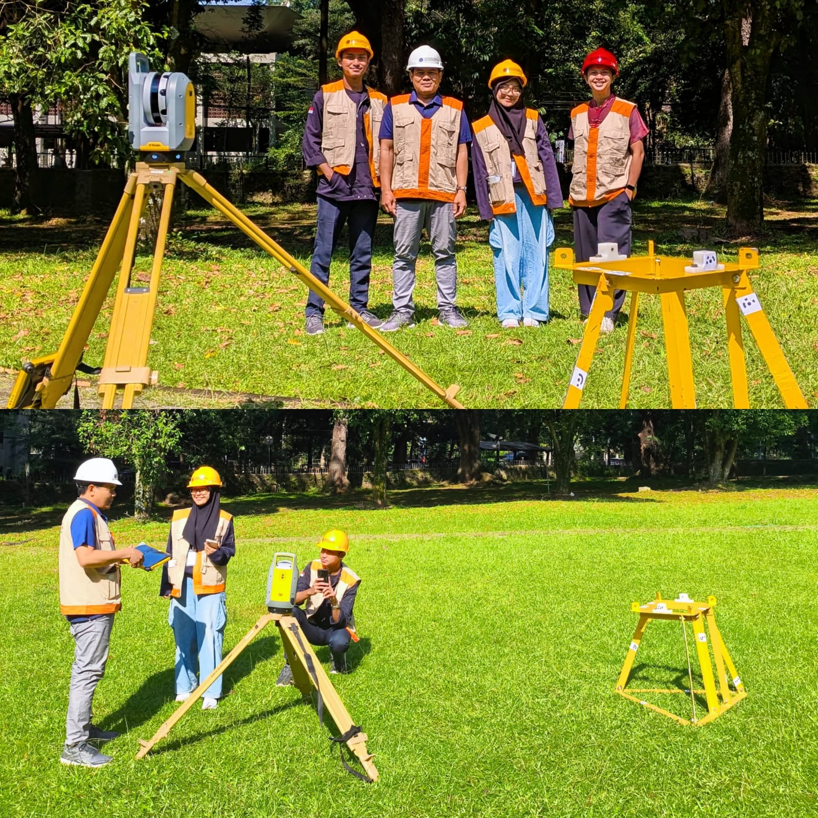
Written by: Mentari K. Azzahra Graduate students of Geodesy and Geomatics Engineering of Bandung Institute of Technology collaborated with PT GPS Land Indosolution in a Total Laser Scanner (TLS) data acquisition process on 21 July 2025. Mentari Khoerunnisa Azzahra (15121023) and Dwi Hadi Nugraha (15121047) are students of the Fast-Track Undergraduate-Master’s Program (PPSM) who are…
Read MoreCalendar
Recent Posts
- From Pramuka Island to ISPRS 2026: ITB Research Assesses Underwater LiDAR Accuracy
- UTM, SDUST and ITB Strengthen Regional Collaboration in Hydrography and Geospatial Science
- Integrating Geospatial and Inland Hydrographic Perspectives for Rainwater-Based Clean Water Solutions in Merauke
- SEARIBU: Initiating Sustainable Tourism Management in the Thousand Islands
- Beyond the Sea with SADAR ITB Team Exploring Pasilambena