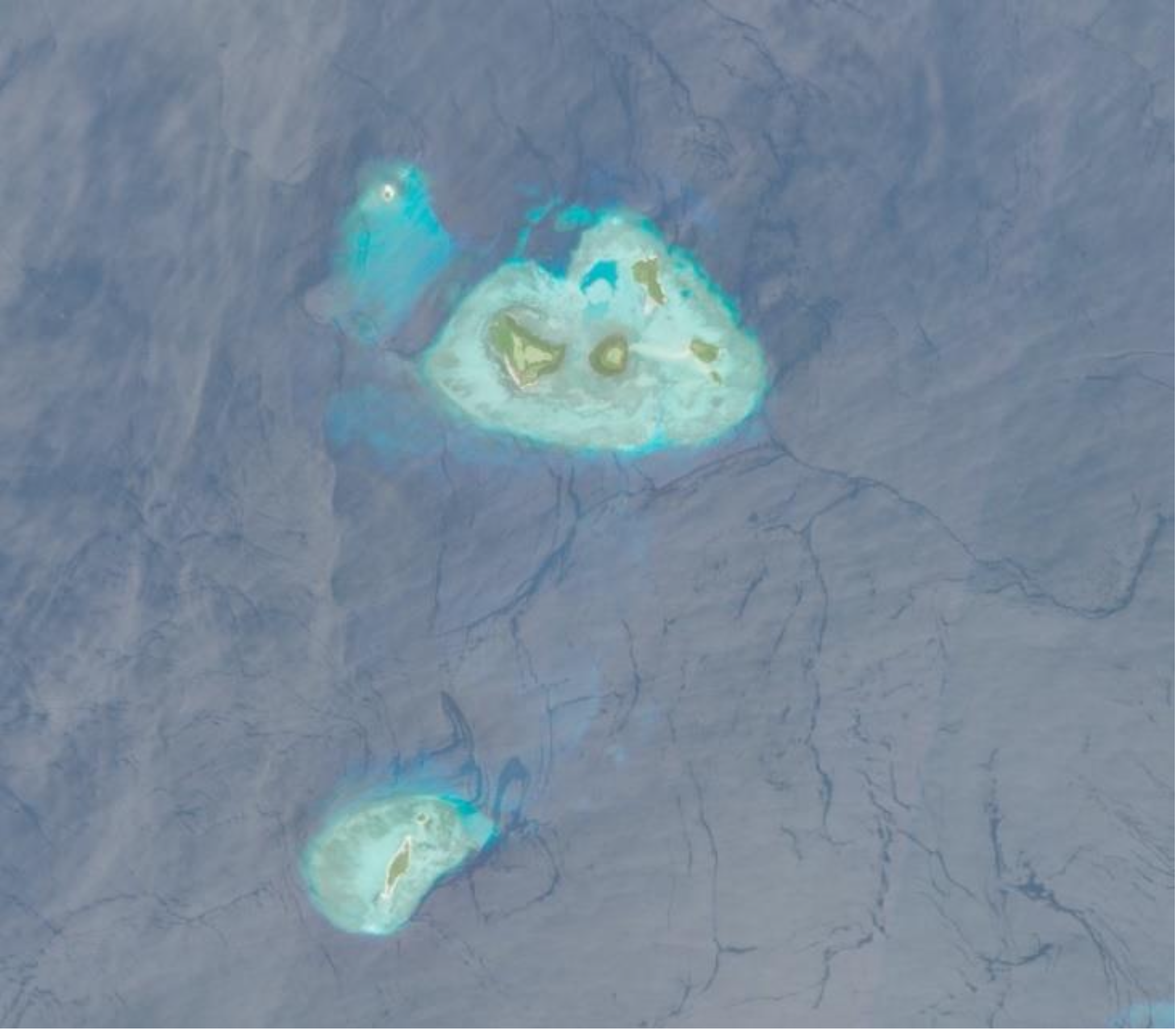
Featured image: Copernicus Data Space, Sentinel-2 Imagery. Written by: Eka Djunarsjah Satellite Derived Bathymetry (SDB) is a method for estimating shallow water depths using optical satellite imagery. Unlike conventional bathymetric surveys that rely on ships with echo sounders (such as Single Beam or Multibeam Echo Sounders) or airborne LiDAR, SDB leverages the ability of sunlight…
Read MoreFeatured image is private assets Written by Madam Taqiyya During the rainy season, you might hear someone say, “Let’s go out before 4 p.m., because it will probably rain after that.” How do they know? Perhaps, without even realizing it, they have learned to recognize the diurnal rainfall pattern in their area. Diurnal rainfall pattern means repeated…
Read MoreWritten by: Miga Magenika Julian Flooding in Jakarta isn’t just an inconvenience—it’s a recurring disaster. The capital of Indonesia, home to more than 11 million people, has faced devastating floods over the years, with the 2007 flood being one of the worst in recent history. That year, nearly 60% of the city was submerged, 80…
Read MoreWritten by: Poerbandono The mapping of seafloor topography has been largely relying on standard hydrographic echosounders. Sounds propagate effectively in seawater. Their natures are well recognized and become the basis of knowledge in the design of underwater surveys’ technology. With that, sonar devices (including echosounders) are hence developed and fortified with specific features for different…
Read MoreWritten by: Iyan E. Mulia A chapter by Dr. Iyan E. Mulia, a Hydrography Research Group member, has been published in a book entitled “Probabilistic Tsunami Hazard and Risk Analysis: Towards Disaster Risk Reduction and Resilience” (https://doi.org/10.1016/C2022-0-00360-3). The book comprises a collection of articles from tsunami experts globally. The chapter discusses the application of machine…
Read MoreWritten by: Madam Taqiyya Four students from Geodesy and Geomatics Engineering, Bandung Institute of Technology developed NAWH S-100 project as their capstone project (final project). They are Mochamad Hasnan, Raden Almafayra Z, Najiyah Nurul Faizah, and Wanda Putri. NAWH S-100 is the first IHO S-100 standardized data service system developed in Indonesia by Indonesians. The…
Read MoreWritten by: Gabriella Alodia, Ph.D.Lecturer and Researcher in Hydrography Research GroupFaculty of Earth Sciences and Technology, Institut Teknologi Bandung When we talk about natural resources in the seas, we mainly talk about those situated in our own territorial waters. How about the high seas? Are we ready to discuss the potential of natural resources outside…
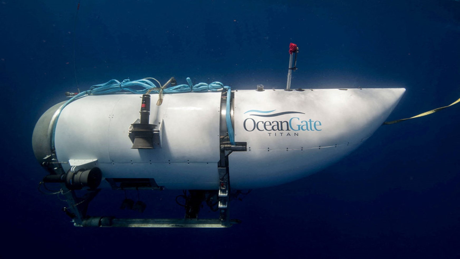
Read MoreWritten by: Fickrie Muhammad, M.Sc.Lecturer at Hydrography Research Group, Faculty of Earth Sciences and Technology, Insitut Teknologi BandungPhD Candidate at Geodesy and Geomatics Study Programme, Institut Teknologi Bandung and HafenCity University Hamburg Introduction The recent incident involving the exploration of the Titan submarine by OceanGate Inc has garnered significant attention worldwide. This event has been…
Read More