Written by: Gabriella Alodia Gapuro Sagoro means “gate of the sea” in Indonesian (indigenous) language, referring to the Pacific Ocean entering Indonesian waters from the northeast through this “gate”. – Pushidrosal, 2022, documented in the GEBCO Undersea Feature Names Digital Gazetteer Tuesday, 3 August 2021, has been a historic day for the advancement of Indonesia’s…
Read MoreWritten by: Fickrie Muhammad Underwater robotics have greatly improved marine science and technology, making ocean exploration and offshore inspections much easier. These robots are essential for tasks like checking ship hulls and finding structural damage or simply ocean mapping. Autonomous underwater vehicles (AUVs) equipped with advanced sensors are key for mapping the ocean floor and…
Read MoreWritten by: Poerbandono The mapping of seafloor topography has been largely relying on standard hydrographic echosounders. Sounds propagate effectively in seawater. Their natures are well recognized and become the basis of knowledge in the design of underwater surveys’ technology. With that, sonar devices (including echosounders) are hence developed and fortified with specific features for different…
Read MoreWritten by: Eka Djunarsjah In October 2024, a survey of Reference Points (RPs) located in the Malacca Strait was conducted to determine the condition of these points after being built more than 20 years ago. The RPs surveyed are reference points that play a role in determining the boundaries of the Exclusive Economic Zone (EEZ)…
Read MoreWritten by: Wiwin Windupranata The UN-GGCE International Workshop on the Integration of Terrestrial, Maritime, Built and Cadastral Domains with the theme Joining Land and Sea was carried out in Bogor from December 2nd-5th 2024. The workshop is designed to address the practical challenges, share and exchange knowledge, information and experience, and provide guidance for Member State…
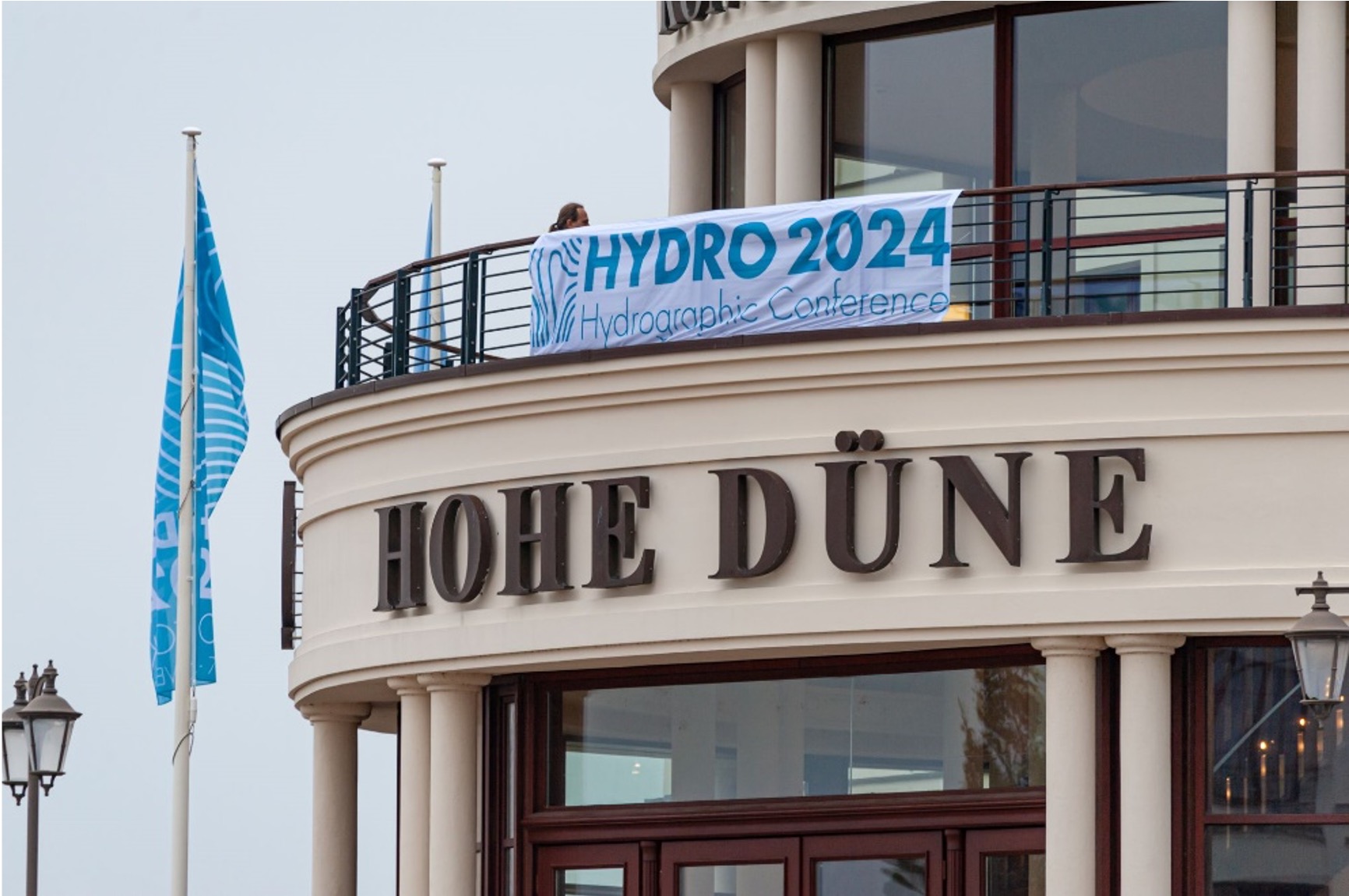
Read MoreWritten by: Fickrie Muhammad Hydro 2024, held in Rostock Warnemünde, highlighted emerging trends shaping the future of hydrography. A key focus was the generation of high-resolution seabed data by positioning sensors closer to the ocean floor. Advancements in marine robotics—whether above water, on the surface, or underwater—dominate current developments in the field. The conference also…
Read MoreWritten by: Iyan E. Mulia A chapter by Dr. Iyan E. Mulia, a Hydrography Research Group member, has been published in a book entitled “Probabilistic Tsunami Hazard and Risk Analysis: Towards Disaster Risk Reduction and Resilience” (https://doi.org/10.1016/C2022-0-00360-3). The book comprises a collection of articles from tsunami experts globally. The chapter discusses the application of machine…
Read MoreWritten by: Madam Taqiyya Four students from Geodesy and Geomatics Engineering, Bandung Institute of Technology developed NAWH S-100 project as their capstone project (final project). They are Mochamad Hasnan, Raden Almafayra Z, Najiyah Nurul Faizah, and Wanda Putri. NAWH S-100 is the first IHO S-100 standardized data service system developed in Indonesia by Indonesians. The…
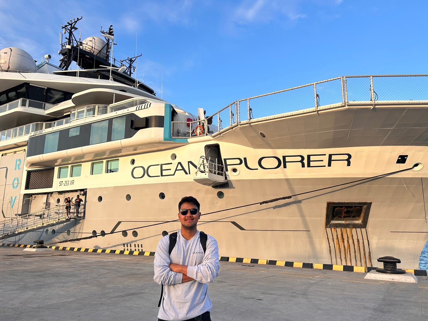
Read MoreWritten by: Adrian Lubis (15121016) “Exploring the ocean is not just about discovery; it’s about understanding the very fabric of our planet. The ocean is our planet’s life support system, and by exploring its depths, we can unlock solutions to the greatest challenges facing humanity today. So, Stay Curious and Keep Exploring!” – OceanX Hello!…
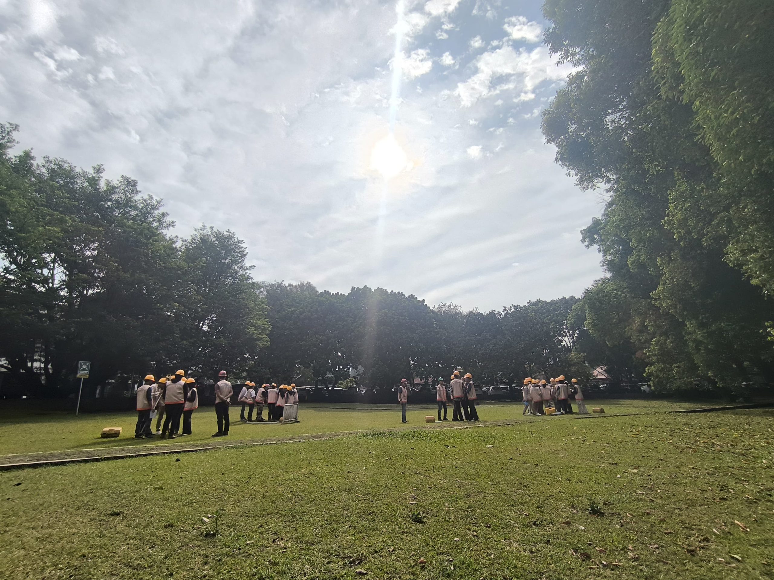
Read MoreWritten by: Gabriella Alodia On the morning of 25 September 2024, a guest lecture on sun azimuth was delivered by Mr. Yudovan Vidyan of PT. Bintang Subsea Indonesia and Mr. Mustafa Ihsan Iraqi, a freelance hydrographic surveyor, to the GD4111 Offshore Positioning course participants. A lecture on sun azimuth is deemed important as when a…
Read More


