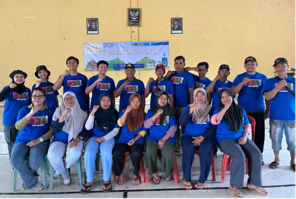
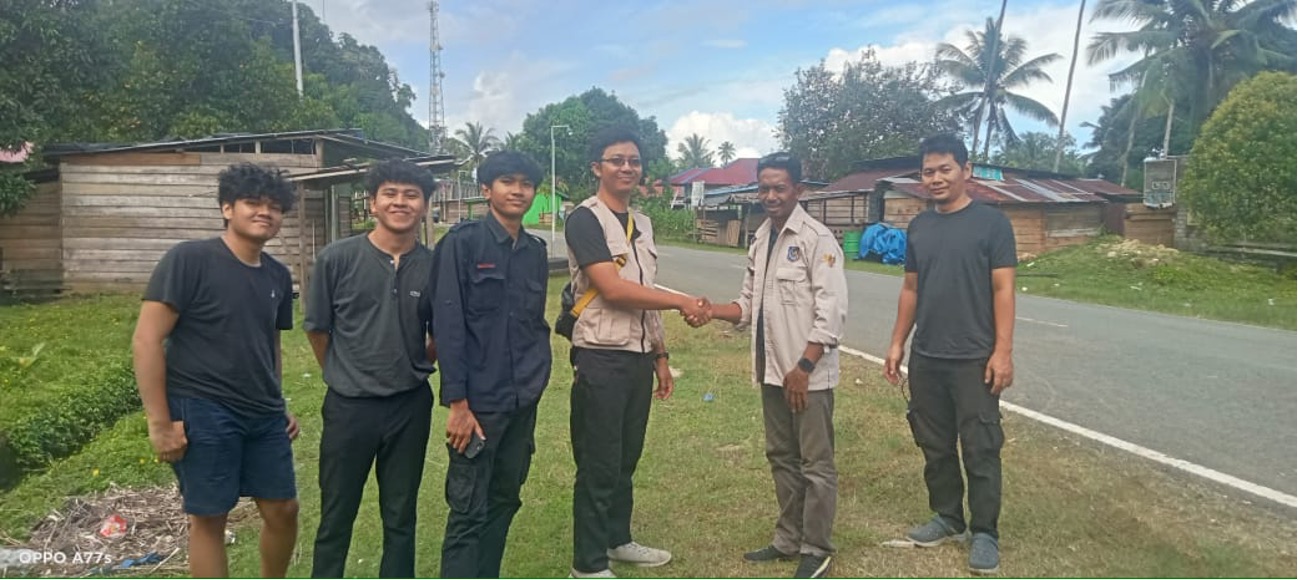
In the remote village of Telaga Sari, located in the lowlands of Merauke, South Papua, access to clean water has long been a daily struggle. The village lies only about a meter above sea level, and its residents have relied for years on rainwater stored in small ponds (embung) to meet their household needs. During dry seasons,…
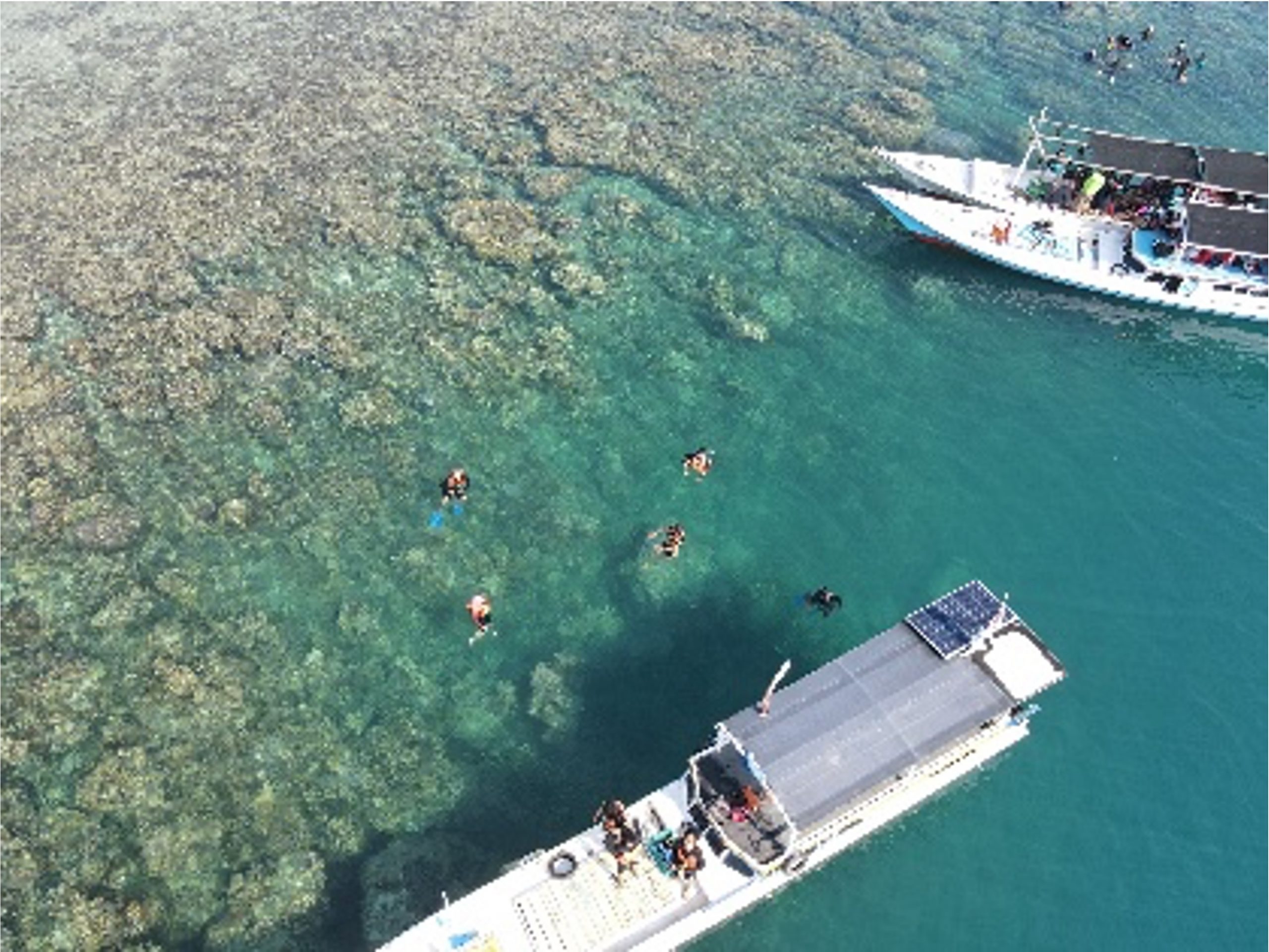
Read MoreWritten by: Eka Djunarsjah In Indonesia’s Karimunjawa National Park, effective marine spatial planning is proving to be less about maps and more about people. A recent study in the villages of Desa Karimunjawa and Desa Kemujan highlights that understanding local livelihoods and knowledge is key to successful ocean management. While both villages rely on traditional,…
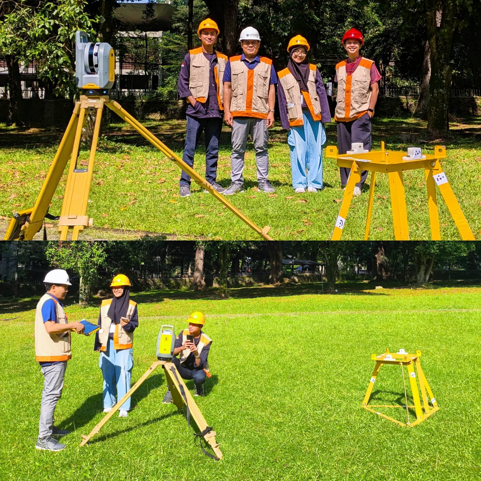
Read MoreWritten by: Mentari K. Azzahra Graduate students of Geodesy and Geomatics Engineering of Bandung Institute of Technology collaborated with PT GPS Land Indosolution in a Total Laser Scanner (TLS) data acquisition process on 21 July 2025. Mentari Khoerunnisa Azzahra (15121023) and Dwi Hadi Nugraha (15121047) are students of the Fast-Track Undergraduate-Master’s Program (PPSM) who are…
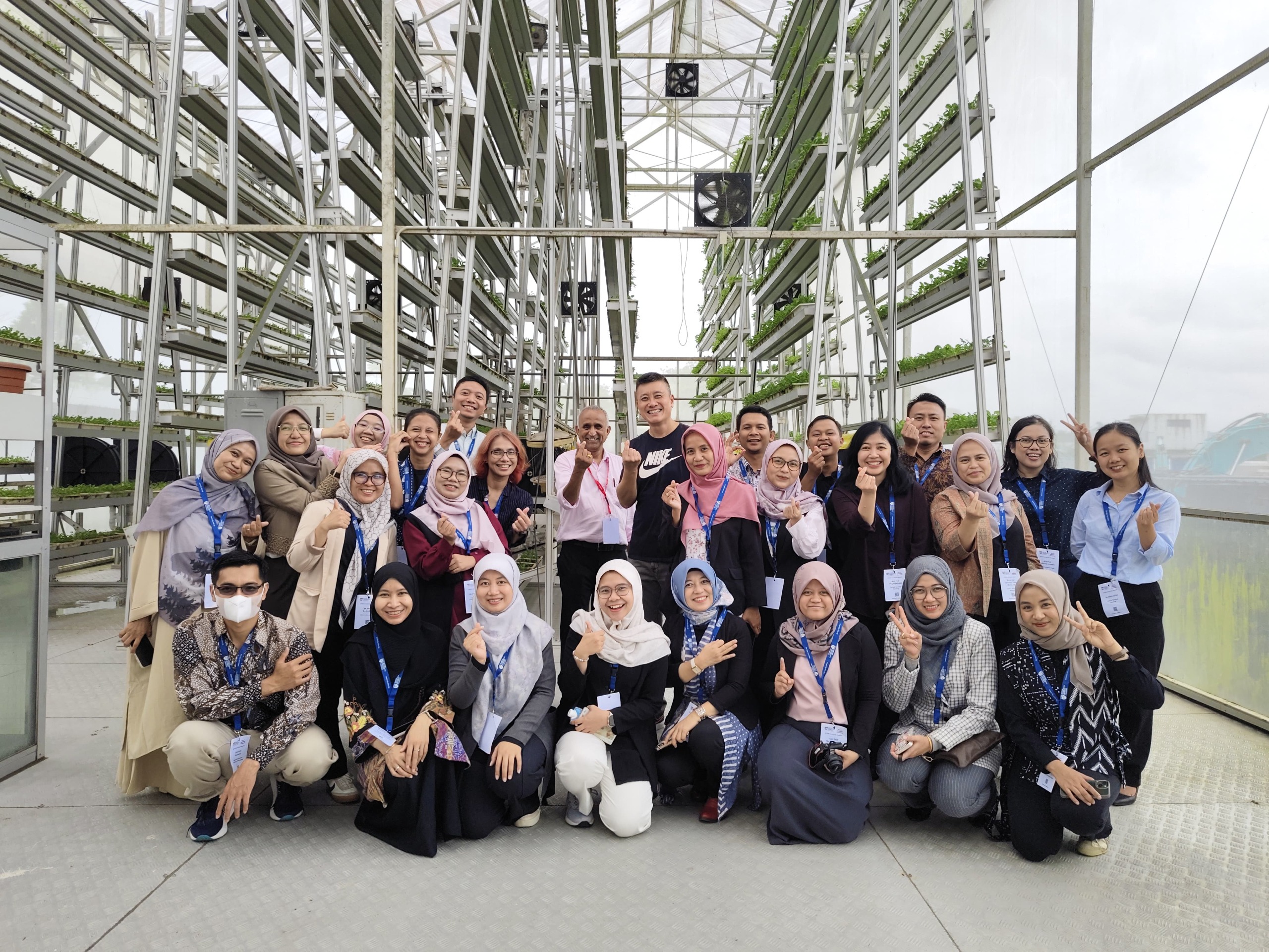
Read MoreWritten by Gabriella Alodia On July 14-16, 2025, FITB ITB, represented by Gabriella Alodia, Ph.D., participated in the RISING (Republic of Indonesia – Singapore) University Network Faculty Immersion Program organized by Nanyang Technological University (NTU), Singapore. This program is part of a research and education collaboration between the Government of Indonesia and Singapore. The activity…
Read MoreWritten by: Miga Magenika Julian Flooding in Jakarta isn’t just an inconvenience—it’s a recurring disaster. The capital of Indonesia, home to more than 11 million people, has faced devastating floods over the years, with the 2007 flood being one of the worst in recent history. That year, nearly 60% of the city was submerged, 80…
Read MoreWritten by: Miga Magenika Julian The absence of telecommunication infrastructure in Daerah 3T (Tertinggal, Terdepan, dan Terluar), such as Nursifa Village in Central Halmahera, North Maluku, has led to significant limitations in accessing crucial information that could improve livelihoods. Without internet access, villagers struggle to stay updated on commodity prices, healthcare developments, or new economic…
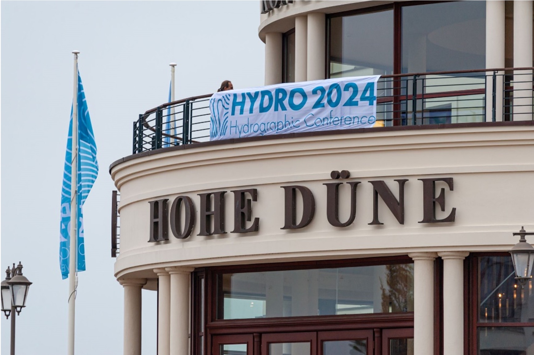
Read MoreWritten by: Fickrie Muhammad Hydro 2024, held in Rostock Warnemünde, highlighted emerging trends shaping the future of hydrography. A key focus was the generation of high-resolution seabed data by positioning sensors closer to the ocean floor. Advancements in marine robotics—whether above water, on the surface, or underwater—dominate current developments in the field. The conference also…
Read MoreWritten by: Madam Taqiyya Four students from Geodesy and Geomatics Engineering, Bandung Institute of Technology developed NAWH S-100 project as their capstone project (final project). They are Mochamad Hasnan, Raden Almafayra Z, Najiyah Nurul Faizah, and Wanda Putri. NAWH S-100 is the first IHO S-100 standardized data service system developed in Indonesia by Indonesians. The…
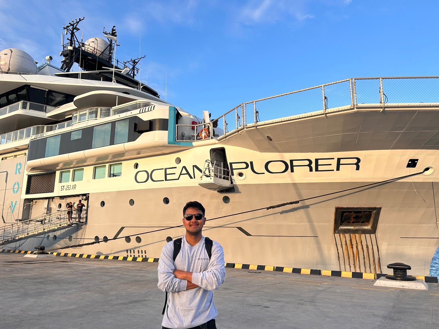
Read MoreWritten by: Adrian Lubis (15121016) “Exploring the ocean is not just about discovery; it’s about understanding the very fabric of our planet. The ocean is our planet’s life support system, and by exploring its depths, we can unlock solutions to the greatest challenges facing humanity today. So, Stay Curious and Keep Exploring!” – OceanX Hello!…
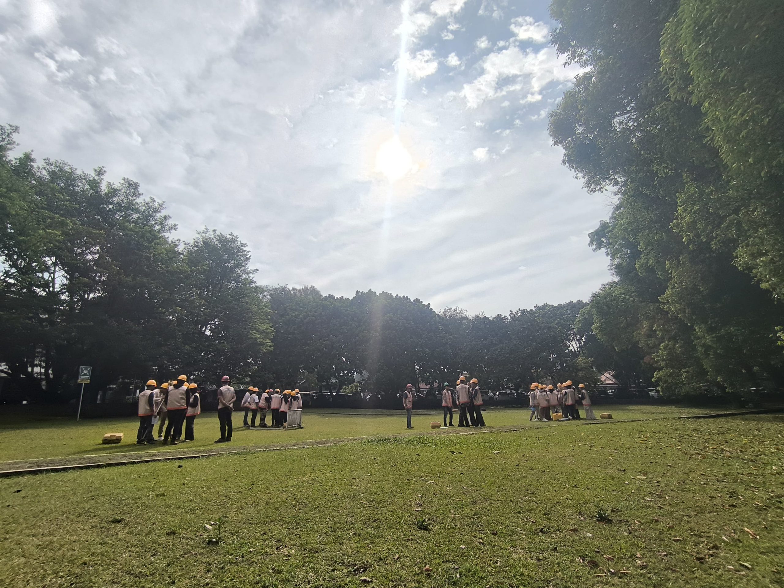
Read MoreWritten by: Gabriella Alodia On the morning of 25 September 2024, a guest lecture on sun azimuth was delivered by Mr. Yudovan Vidyan of PT. Bintang Subsea Indonesia and Mr. Mustafa Ihsan Iraqi, a freelance hydrographic surveyor, to the GD4111 Offshore Positioning course participants. A lecture on sun azimuth is deemed important as when a…
Read More