Written by: Fickrie Muhammad
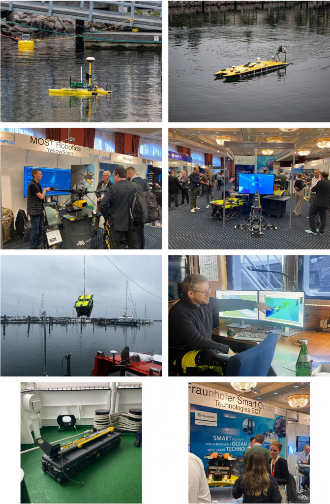
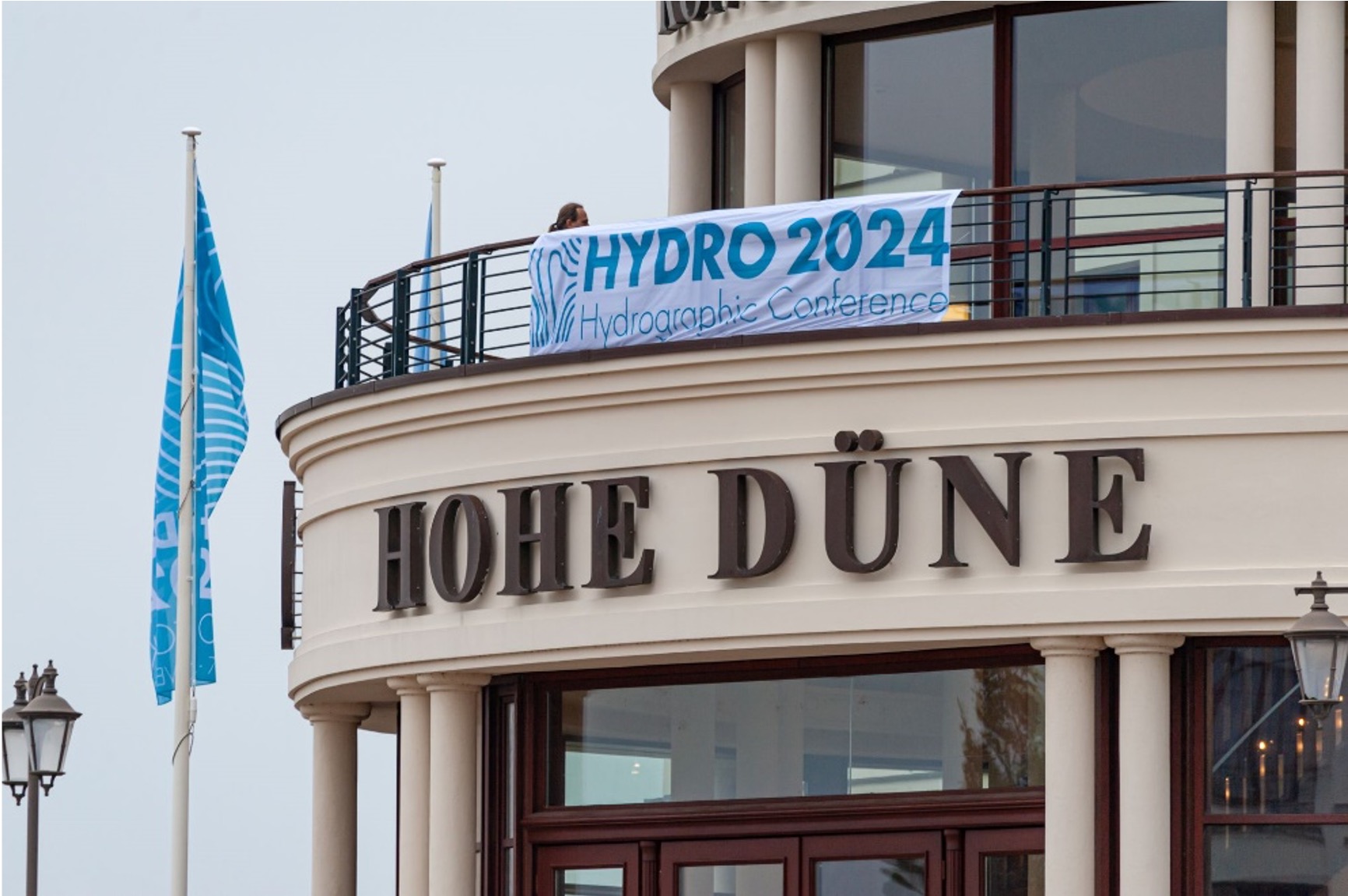
Hydro 2024, held in Rostock Warnemünde, highlighted emerging trends shaping the future of hydrography. A key focus was the generation of high-resolution seabed data by positioning sensors closer to the ocean floor. Advancements in marine robotics—whether above water, on the surface, or underwater—dominate current developments in the field. The conference also featured several engaging workshops, including live in-air demonstrations of Uncrewed Surface Vehicles (USVs) and Remotely Operated Vehicles (ROVs). Attendees had the opportunity to participate in open ship visits, hosted by notable organizations such as Teledyne, Innomar, and BSH (the Federal Maritime and Hydrographic Agency of Germany), as well as the Capella Ship.

Capella Ship of BSH (Bundesamt für Seeschifffahrt und Hydrographie – Maritime federal and hydrography of Germany).
The event was a grand occasion, officially opened by Thomas Dheling, President of the German Hydrographic Society (DHyG), and Davide Vincentelli, President of the International Federation of Hydrographic Societies (IFHS). Dr. Fickrie Muhammad, a distinguished member of the Hydrography Research Group and faculty at the Institute of Technology Bandung (ITB), was among the notable speakers at the conference. He presented a compelling abstract of his latest research, collaborating alongside his esteemed partner, Prof. Harald Sternberg from HafenCity University (HCU) in Hamburg. Their joint presentation showcased cutting-edge advancements in the field, further enriching the diverse range of topics explored at the event.

IFHS (international federation of hydrographic society) president – Davide Vincentelli.
Above-Water Innovations
Above-water methodologies, such as remote sensing, enable rapid marine mapping extending beyond traditional bathymetry. High-resolution multispectral imagery and gravimetry are pivotal, supporting initiatives like the Seabed 2030 program, which aims to create a global bathymetric model. With only 30% of global bathymetric data currently available, crowdsourced datasets like those in Seabed 2030 play a crucial role. At the event’s opening, airborne lidar systems also garnered attention. Mounted on quadcopter drones for lightweight applications or small planes for heavy-duty tasks, lidar offers a faster and broader alternative to traditional shipborne methods, despite its higher cost. This technology holds significant promise for the future of coastal mapping.

Some robots spotted in the conference including in-water demonstration.
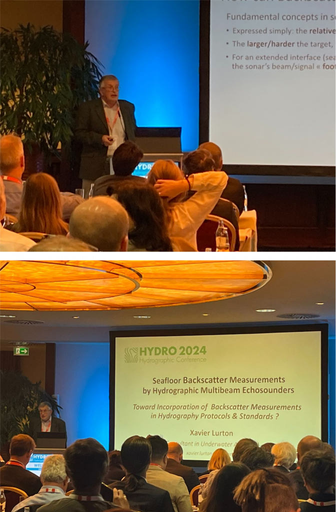
Renowned underwater acoustics expert Prof. Xavier Lurton presented the value of echosounder acoustic backscatter. Often overlooked in favor of bathymetry models, backscatter provides critical information about seabed characteristics. Different bottom types “scatter” sound energy uniquely, revealing details about their hardness and roughness. For example, harder surfaces like rock reflect more sound than softer materials like mud, while smoother surfaces like pavement reflect more sound than rougher ones like coral reefs. Integrating calibrated bathymetric and backscatter data collected via multibeam echo sounders enables the creation of detailed 3D seafloor maps. These maps are vital for applications such as marine ecosystem protection, coastal hazard preparedness, and navigation safety.

Prof. Xavier Lurton presenting the importance of underwater acoustic backscatter.
Underwater Positioning and SLAM
Dr. Fickrie Muhammad presented his latest research on underwater positioning using optical sensors, such as mono-cameras, to implement Simultaneous Localization and Mapping (SLAM). The underwater environment presents unique challenges for SLAM, necessitating advanced techniques like multimedia ray tracing and optical backscatter removal to improve positioning and map accuracy. Dr. Fickrie Muhammad also demonstrated the practicality of using the Robot Operating System (ROS) to handle high computational demands in real time. By integrating inertial data, the system achieves robust positional accuracy and metric-based coordinate mapping. Future research aims to incorporate additional sensor fusion and focus on real-world applications relevant to local communities.

Dr. Fickrie Muhammad presenting his research.
Community and Future Outlook
Events like Hydro 2024 are not only knowledge-sharing platforms but also opportunities to reconnect with the tight-knit global hydrography community. Traditionally focused on creating nautical charts to ensure navigation safety, the community is now exploring emerging technologies like machine learning, robotics, and sensor fusion. These innovations are expected to play a central role in future hydrography, enabling the creation of highly detailed bathymetric maps. The next Hydro conference is slated for 2025 in the UK and promises to showcase even more exciting developments in the field.
Hydro 2024: See you above and bellow
