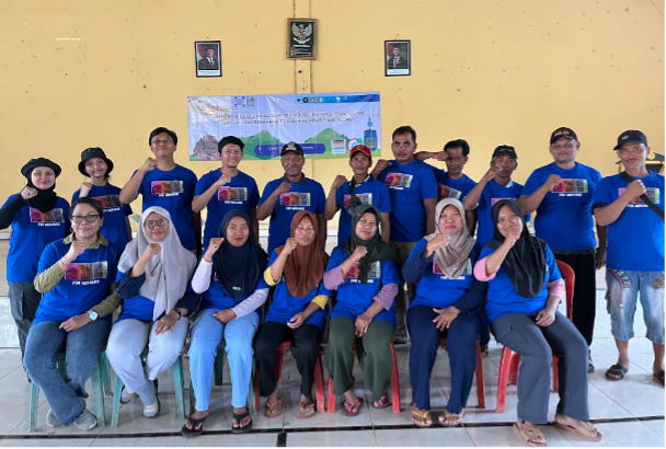
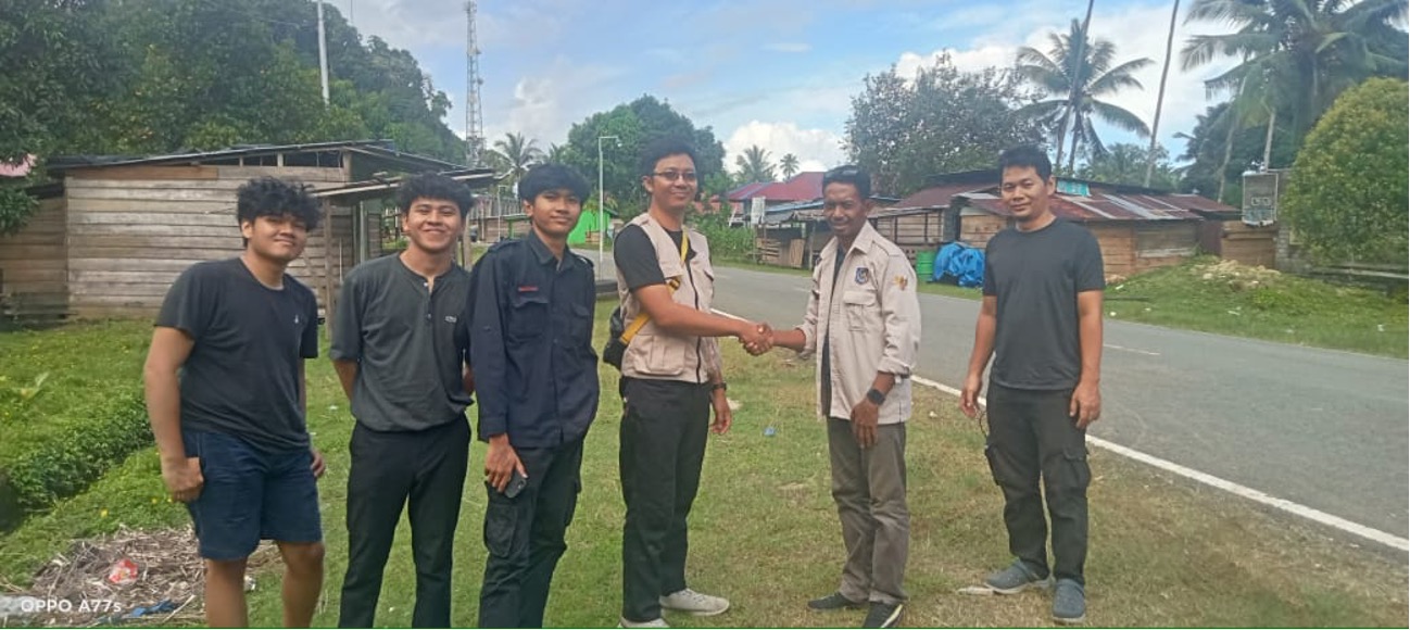
Featured image: Copernicus Data Space, Sentinel-2 Imagery. Written by: Eka Djunarsjah Satellite Derived Bathymetry (SDB) is a method for estimating shallow water depths using optical satellite imagery. Unlike conventional bathymetric surveys that rely on ships with echo sounders (such as Single Beam or Multibeam Echo Sounders) or airborne LiDAR, SDB leverages the ability of sunlight…
Read MoreFeatured image is private assets Written by Madam Taqiyya During the rainy season, you might hear someone say, “Let’s go out before 4 p.m., because it will probably rain after that.” How do they know? Perhaps, without even realizing it, they have learned to recognize the diurnal rainfall pattern in their area. Diurnal rainfall pattern means repeated…
Read MoreWritten by: Mentari K. Azzahra Graduate students of Geodesy and Geomatics Engineering of Bandung Institute of Technology collaborated with PT GPS Land Indosolution in a Total Laser Scanner (TLS) data acquisition process on 21 July 2025. Mentari Khoerunnisa Azzahra (15121023) and Dwi Hadi Nugraha (15121047) are students of the Fast-Track Undergraduate-Master’s Program (PPSM) who are…
Read MoreWritten by Gabriella Alodia On July 14-16, 2025, FITB ITB, represented by Gabriella Alodia, Ph.D., participated in the RISING (Republic of Indonesia – Singapore) University Network Faculty Immersion Program organized by Nanyang Technological University (NTU), Singapore. This program is part of a research and education collaboration between the Government of Indonesia and Singapore. The activity…
Read MoreWritten by: Miga Magenika Julian Flooding in Jakarta isn’t just an inconvenience—it’s a recurring disaster. The capital of Indonesia, home to more than 11 million people, has faced devastating floods over the years, with the 2007 flood being one of the worst in recent history. That year, nearly 60% of the city was submerged, 80…
Read MoreWritten by: Miga Magenika Julian The absence of telecommunication infrastructure in Daerah 3T (Tertinggal, Terdepan, dan Terluar), such as Nursifa Village in Central Halmahera, North Maluku, has led to significant limitations in accessing crucial information that could improve livelihoods. Without internet access, villagers struggle to stay updated on commodity prices, healthcare developments, or new economic…
Read MoreWritten by: Gabriella Alodia Gapuro Sagoro means “gate of the sea” in Indonesian (indigenous) language, referring to the Pacific Ocean entering Indonesian waters from the northeast through this “gate”. – Pushidrosal, 2022, documented in the GEBCO Undersea Feature Names Digital Gazetteer Tuesday, 3 August 2021, has been a historic day for the advancement of Indonesia’s…
Read MoreWritten by: Fickrie Muhammad Underwater robotics have greatly improved marine science and technology, making ocean exploration and offshore inspections much easier. These robots are essential for tasks like checking ship hulls and finding structural damage or simply ocean mapping. Autonomous underwater vehicles (AUVs) equipped with advanced sensors are key for mapping the ocean floor and…
Read MoreWritten by: Poerbandono The mapping of seafloor topography has been largely relying on standard hydrographic echosounders. Sounds propagate effectively in seawater. Their natures are well recognized and become the basis of knowledge in the design of underwater surveys’ technology. With that, sonar devices (including echosounders) are hence developed and fortified with specific features for different…
Read MoreWritten by: Eka Djunarsjah In October 2024, a survey of Reference Points (RPs) located in the Malacca Strait was conducted to determine the condition of these points after being built more than 20 years ago. The RPs surveyed are reference points that play a role in determining the boundaries of the Exclusive Economic Zone (EEZ)…
Read More