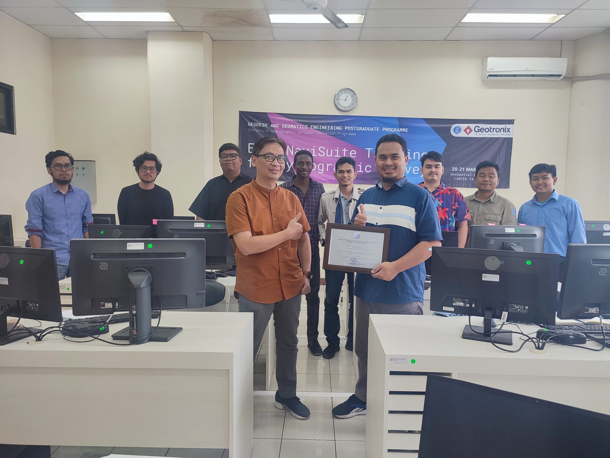
On 20-21 March 2023, Geodesy and Geomatics Engineering Postgraduate Programme held an in-house software training called the “EIVA NaviSuite Training for Hydrographic Survey.” The training was held as part of the H6: Hydrographic Data Acquisition and Processing Module for the Category A Hydrographic Surveyor Programme, as required in the FIG/IHO/ICA S-5A Standards. The training was…
Read MoreKalender
Recent Posts
- Integrating Geospatial and Inland Hydrographic Perspectives for Rainwater-Based Clean Water Solutions in Merauke
- SEARIBU: Initiating Sustainable Tourism Management in the Thousand Islands
- Beyond the Sea with SADAR ITB Team Exploring Pasilambena
- Beyond the Reef: How Coastal Communities Shape Marine Spatial Planning in Karimunjawa
- Satellite Derived Bathymetry (SDB) and Its Potential Role in Determining Maritime Boundaries