Collaboration between ITB and PT GPS Land Indosolution as Part of Research to Map Underwater Archaeological Objects

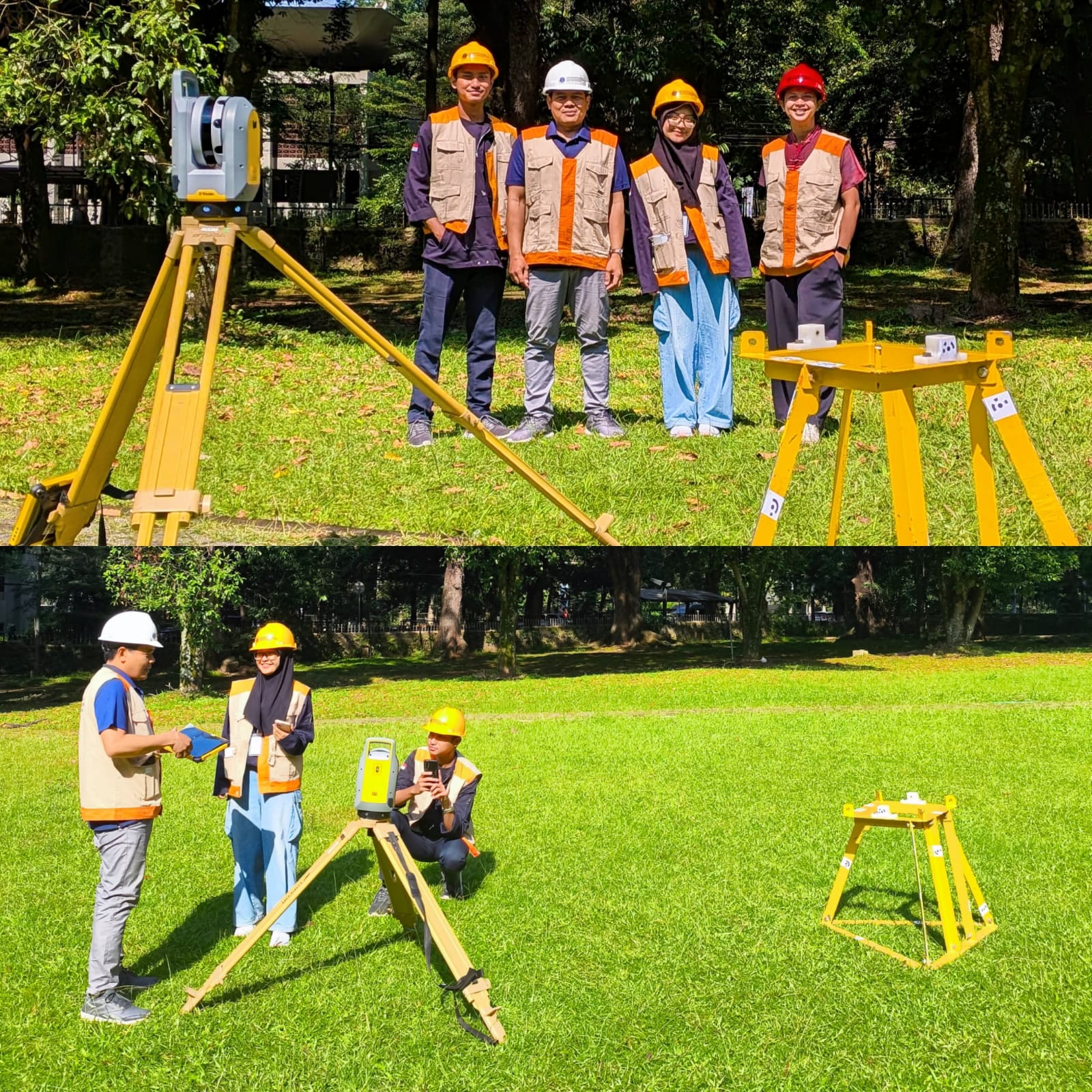
Written by: Mentari K. Azzahra Graduate students of Geodesy and Geomatics Engineering of Bandung Institute of Technology collaborated with PT GPS Land Indosolution in a Total Laser Scanner (TLS) data acquisition process on 21 July 2025. Mentari Khoerunnisa Azzahra (15121023) and Dwi Hadi Nugraha (15121047) are students of the Fast-Track Undergraduate-Master’s Program (PPSM) who are…

Read More

Empowering Coastal Communities with Connectivity: A Step Towards SDGs and the Blue Economy

Written by: Miga Magenika Julian The absence of telecommunication infrastructure in Daerah 3T (Tertinggal, Terdepan, dan Terluar), such as Nursifa Village in Central Halmahera, North Maluku, has led to significant limitations in accessing crucial information that could improve livelihoods. Without internet access, villagers struggle to stay updated on commodity prices, healthcare developments, or new economic…

Read More

EIVA NaviSuite Training by Geotronix

On 20-21 March 2023, Geodesy and Geomatics Engineering Postgraduate Programme held an in-house software training called the “EIVA NaviSuite Training for Hydrographic Survey.” The training was held as part of the H6: Hydrographic Data Acquisition and Processing Module for the Category A Hydrographic Surveyor Programme, as required in the FIG/IHO/ICA S-5A Standards. The training was…

Read More