In the remote village of Telaga Sari, located in the lowlands of Merauke, South Papua, access to clean water has long been a daily struggle. The village lies only about a meter above sea level, and its residents have relied for years on rainwater stored in small ponds (embung) to meet their household needs. During dry seasons,…
Read Moreby Mentari Khoerunnisa Azzahra, Alena Cansery The whisper of waves accompanies the rising sun, and clouds brush grace upon the blue sky. The horizon glows with rainbow-kissed light, while the night is adorned with stars and gentle moonlight. Such splendour awaits in Pasilambena, Selayar Islands, South Sulawesi, Indonesia. Pasilambena sunset, South Sulawesi – captured by Rakha…
Read MoreWritten by: Eka Djunarsjah In Indonesia’s Karimunjawa National Park, effective marine spatial planning is proving to be less about maps and more about people. A recent study in the villages of Desa Karimunjawa and Desa Kemujan highlights that understanding local livelihoods and knowledge is key to successful ocean management. While both villages rely on traditional,…
Read MoreFeatured image: Copernicus Data Space, Sentinel-2 Imagery. Written by: Eka Djunarsjah Satellite Derived Bathymetry (SDB) is a method for estimating shallow water depths using optical satellite imagery. Unlike conventional bathymetric surveys that rely on ships with echo sounders (such as Single Beam or Multibeam Echo Sounders) or airborne LiDAR, SDB leverages the ability of sunlight…
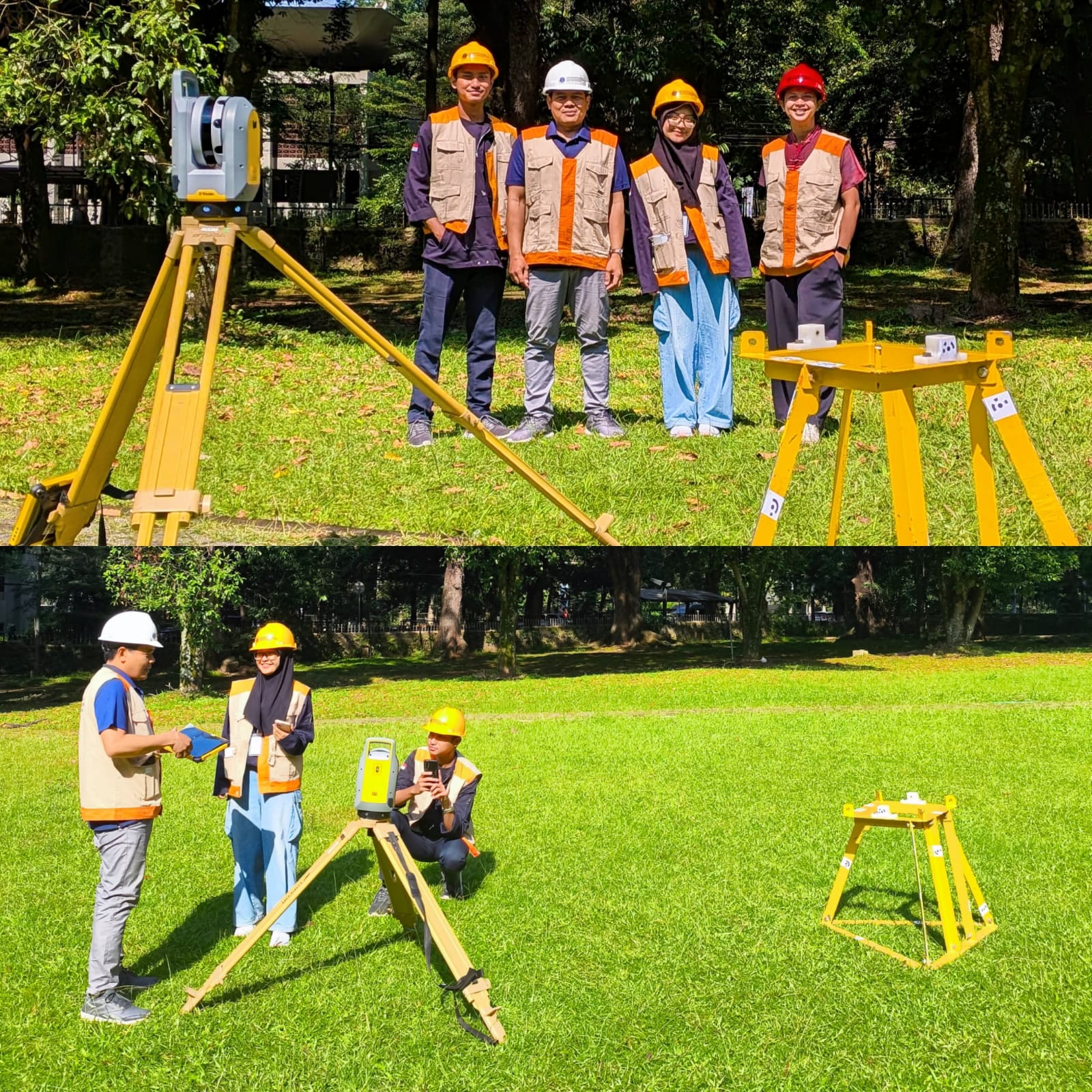
Read MoreWritten by: Mentari K. Azzahra Graduate students of Geodesy and Geomatics Engineering of Bandung Institute of Technology collaborated with PT GPS Land Indosolution in a Total Laser Scanner (TLS) data acquisition process on 21 July 2025. Mentari Khoerunnisa Azzahra (15121023) and Dwi Hadi Nugraha (15121047) are students of the Fast-Track Undergraduate-Master’s Program (PPSM) who are…
Read MoreWritten by: Miga Magenika Julian The absence of telecommunication infrastructure in Daerah 3T (Tertinggal, Terdepan, dan Terluar), such as Nursifa Village in Central Halmahera, North Maluku, has led to significant limitations in accessing crucial information that could improve livelihoods. Without internet access, villagers struggle to stay updated on commodity prices, healthcare developments, or new economic…
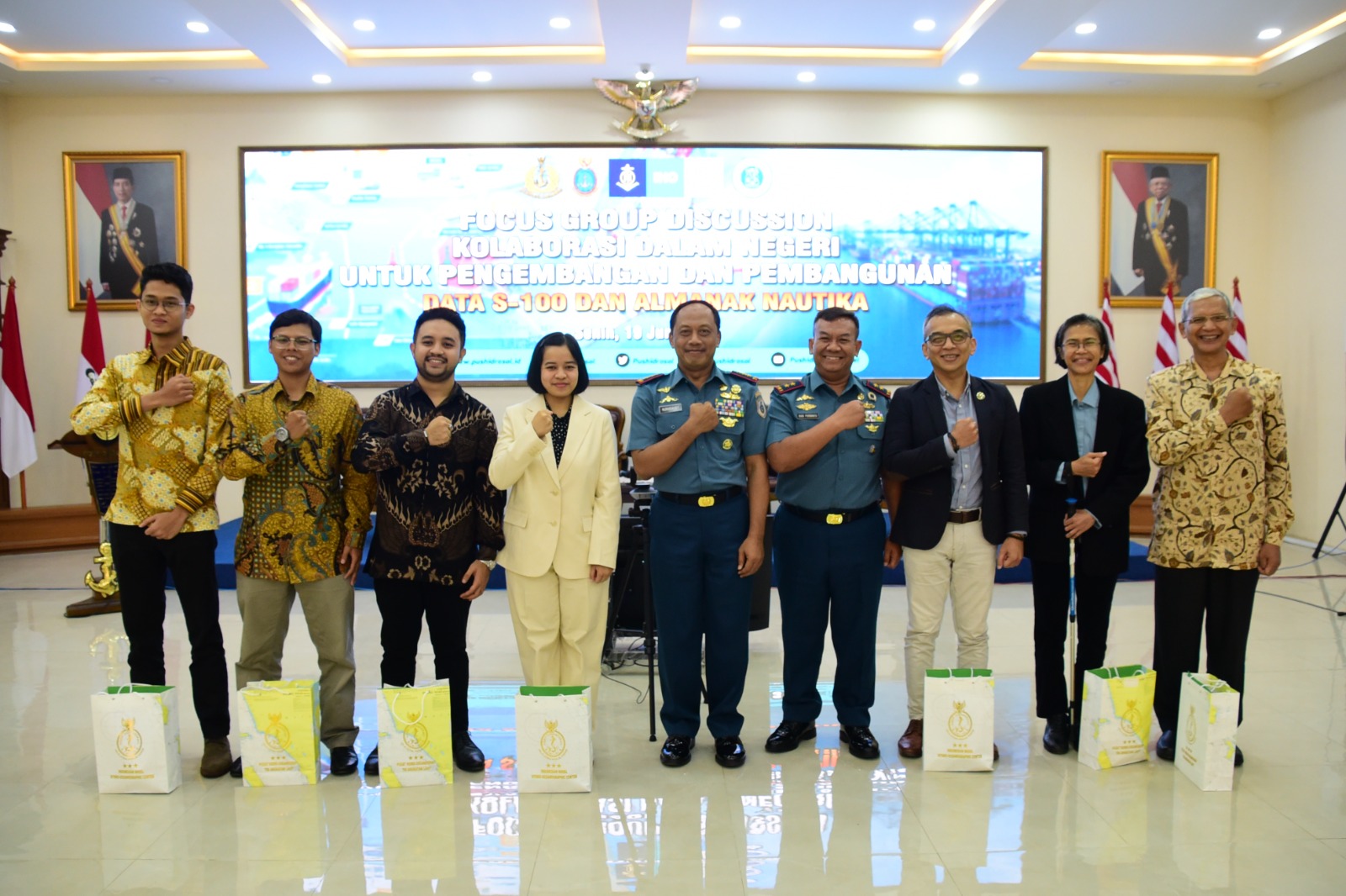
Read MoreWritten by: Madam Taqiyya Four students from Geodesy and Geomatics Engineering, Bandung Institute of Technology developed NAWH S-100 project as their capstone project (final project). They are Mochamad Hasnan, Raden Almafayra Z, Najiyah Nurul Faizah, and Wanda Putri. NAWH S-100 is the first IHO S-100 standardized data service system developed in Indonesia by Indonesians. The…
Read MoreWritten by: Briantara Revidinda Putra (25123013), Tatiana Zalfa (15120017), and Delia Angelika Sirait (15120036) When we heard that our research proposal has been selected to be funded by the “Program Penelitian, Pengabdian kepada Masyarakat, dan Inovasi” or PPMI from the Faculty of Earth Sciences and Technology, Institut Teknologi Bandung, we were thrilled! Our hard work…
Read MoreWritten by: Hanif Satrio Dwiandoko (15119076) and Farras Hafizh Rizqy (15119071) Since the birth of Electronical Navigational Charts (ENC) in the early 1990s, the International Hydrographic Organization (IHO) released the S-57 standard as digital hydrographic data has become a critical element in ensuring safety in marine navigation. In response to the developments in the world…
Read MoreWritten by: Zul Khoiron Nst (15118010) At the end of July 2022, Hydrographic Research Group of ITB in collaboration with the Physics Engineering Team of ITS carried out a community service in Gili and Bawean Islands, East Java. The community service was carried out as a form of participation of the two teams in helping…
Read More