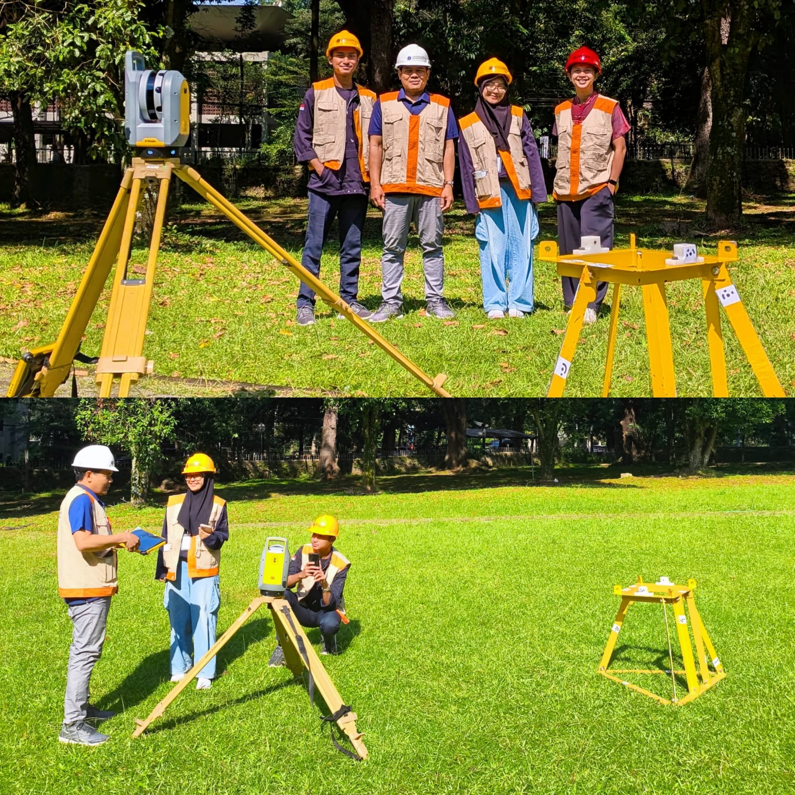
Written by: Mentari K. Azzahra Graduate students of Geodesy and Geomatics Engineering of Bandung Institute of Technology collaborated with PT GPS Land Indosolution in a Total Laser Scanner (TLS) data acquisition process on 21 July 2025. Mentari Khoerunnisa Azzahra (15121023) and Dwi Hadi Nugraha (15121047) are students of the Fast-Track Undergraduate-Master’s Program (PPSM) who are…
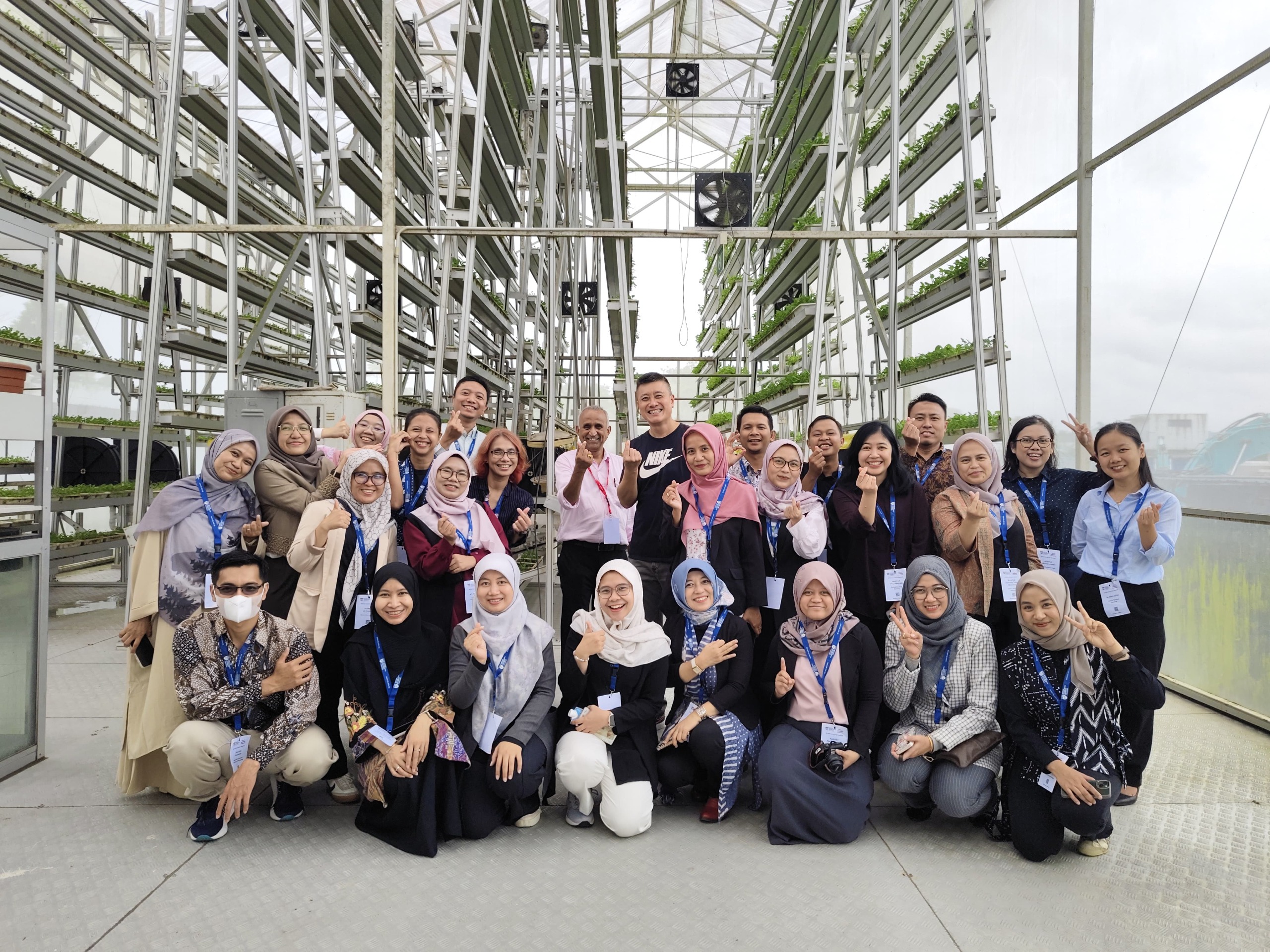
Read MoreWritten by Gabriella Alodia On July 14-16, 2025, FITB ITB, represented by Gabriella Alodia, Ph.D., participated in the RISING (Republic of Indonesia – Singapore) University Network Faculty Immersion Program organized by Nanyang Technological University (NTU), Singapore. This program is part of a research and education collaboration between the Government of Indonesia and Singapore. The activity…
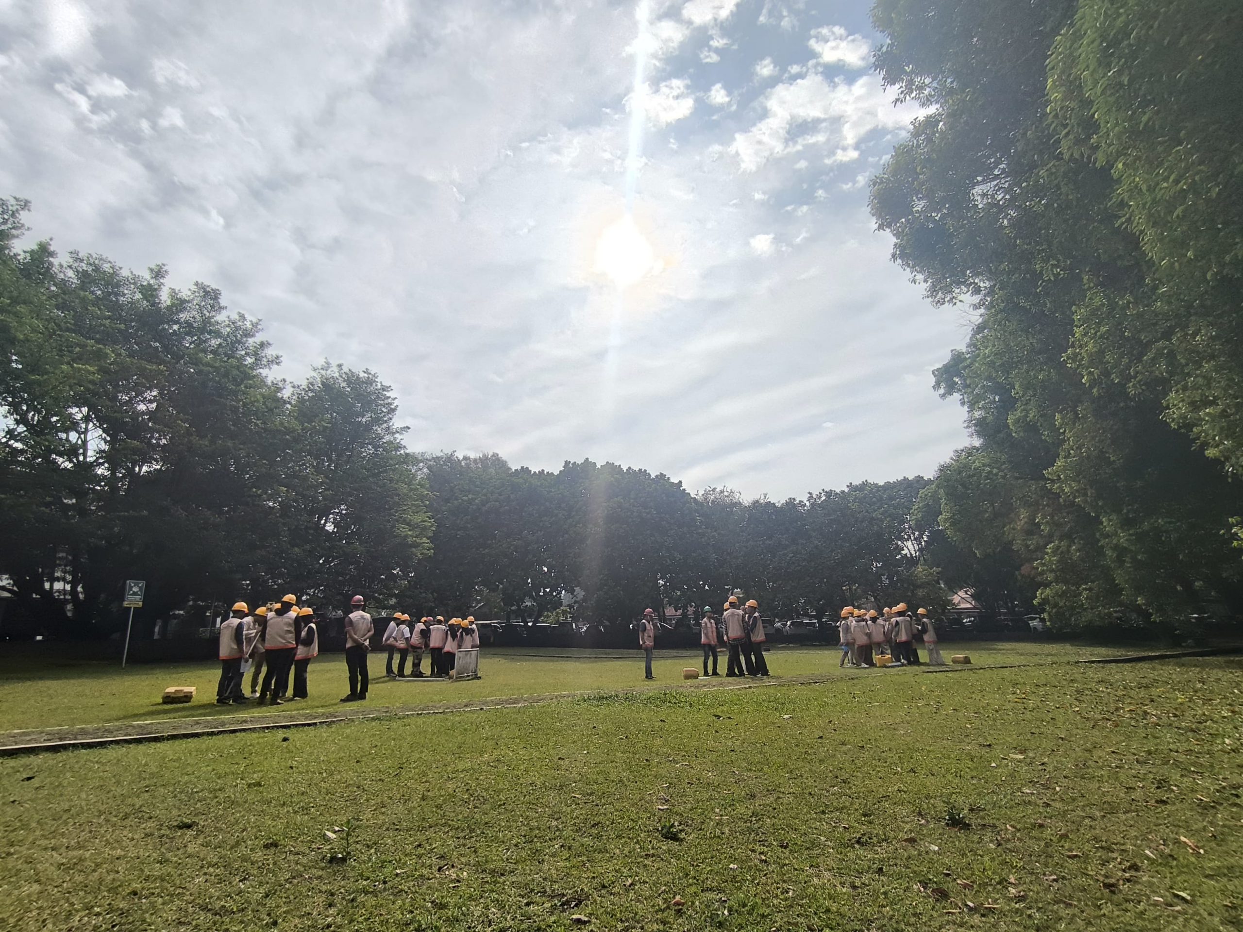
Read MoreWritten by: Gabriella Alodia On the morning of 25 September 2024, a guest lecture on sun azimuth was delivered by Mr. Yudovan Vidyan of PT. Bintang Subsea Indonesia and Mr. Mustafa Ihsan Iraqi, a freelance hydrographic surveyor, to the GD4111 Offshore Positioning course participants. A lecture on sun azimuth is deemed important as when a…
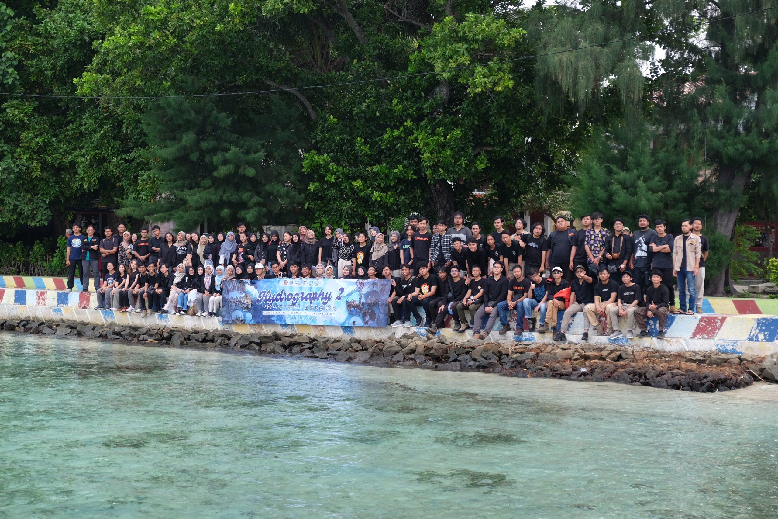
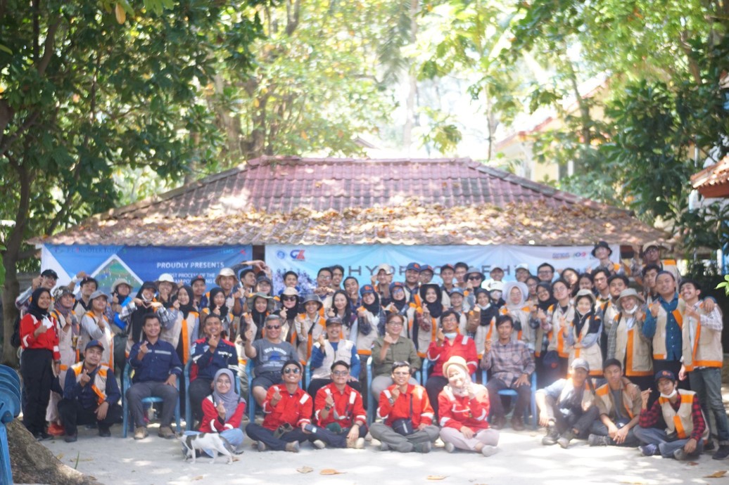
Read MoreWritten by: Adrian Lubis (15121016) and Putri Nur Azizah (15121011) On 3-5 May 2024, we carried out Hydrography II Practical Session in Pramuka Island, north of Jakarta, as part of the mandatory courses of the third year batch of Geodesy and Geomatics Engineering Undergraduate Programme. In this course, we focused on the dynamics of the…
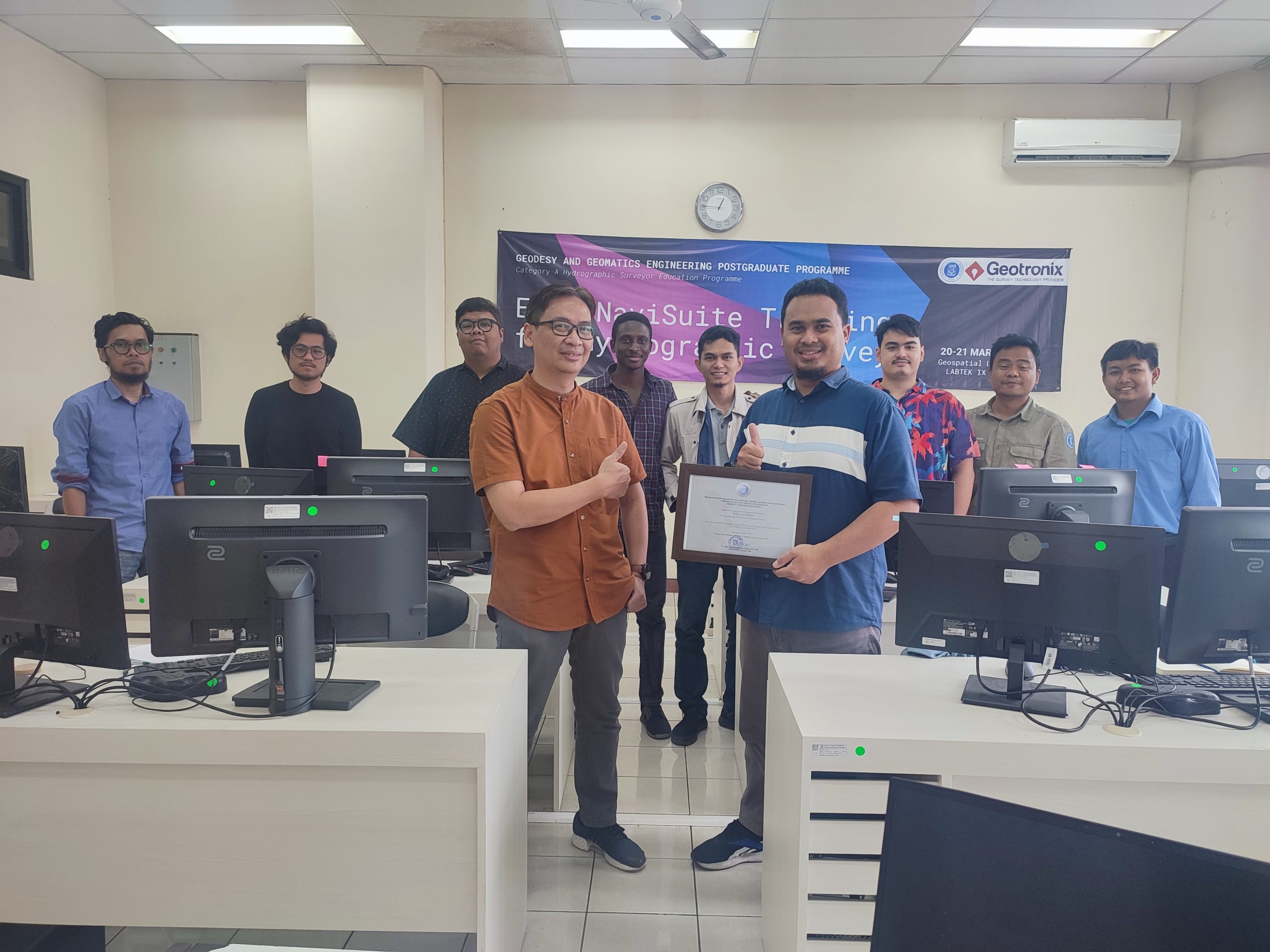
Read MoreOn 20-21 March 2023, Geodesy and Geomatics Engineering Postgraduate Programme held an in-house software training called the “EIVA NaviSuite Training for Hydrographic Survey.” The training was held as part of the H6: Hydrographic Data Acquisition and Processing Module for the Category A Hydrographic Surveyor Programme, as required in the FIG/IHO/ICA S-5A Standards. The training was…
Read MoreWritten by: Geodesy and Geomatics Engineering Students, Class of 2020 From 28 to 30 October 2022, we went to the Pramuka Island, in the Seribu Islands District, north of DKI Jakarta. We carried out a mandatory practical session for the GD3102 Hydrography I module. On the field, we had a pretty tight schedule for two…
Read MoreThis July, the Geodesy and Geomatics Engineering Study Program of Institut Teknologi Bandung, will be celebrating the graduation of its undergraduate students. Among the 75 graduates, 31 of them conducted their research within the Hydrography Research Group. Here are the posters of their research. Click on the image to read each of them in full…
Read More