by Mentari Khoerunnisa Azzahra, Alena Cansery
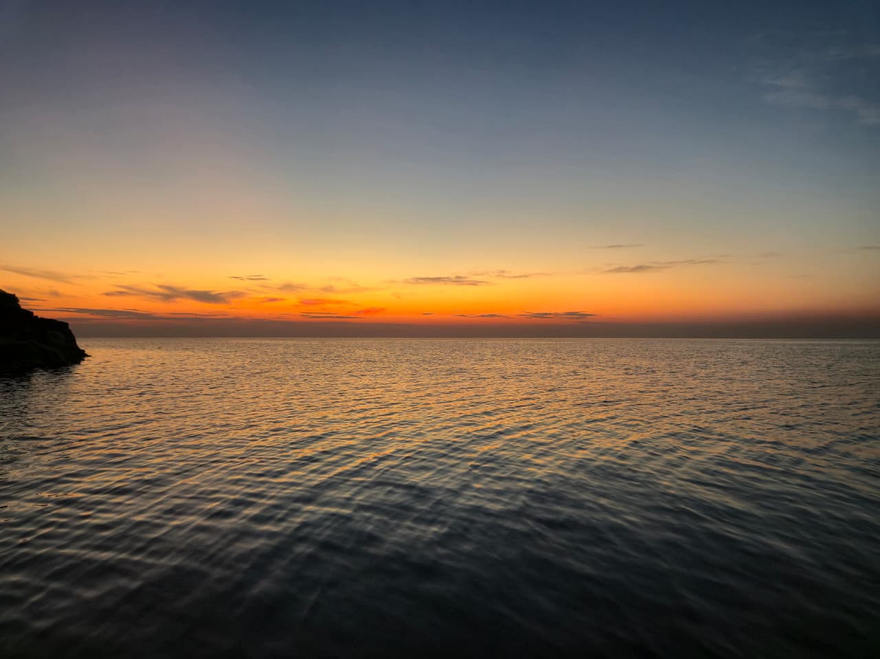
The whisper of waves accompanies the rising sun, and clouds brush grace upon the blue sky. The horizon glows with rainbow-kissed light, while the night is adorned with stars and gentle moonlight. Such splendour awaits in Pasilambena, Selayar Islands, South Sulawesi, Indonesia.

Pasilambena sunset, South Sulawesi – captured by Rakha from Universitas Brawijaya
The Community Service Team from Institut Teknologi Bandung, Siaga dan Antisipasi Daerah Rawan Bencana (SADAR), carried out a community service program in Pasilambena in early September 2025. The program involved Institut Teknologi Bandung lecturers and students, in collaboration with Universitas Brawijaya, the Selayar Islands Marine Affairs Department, and the Rumah Baca Saku community.
The target locations of this program were Madu and Karumpa Island, both of which had previously been affected by the Flores Sea earthquakes in 1992 and 2021. For us, Mentari and Alena, students from the Geodesy and Geomatics Engineering program at Institut Teknologi Bandung, travelling to these small islands in southern Sulawesi was an unimaginable experience. Reaching them required more than 35 hours by ferry in a single trip, as there are no direct flights to Madu and Karumpa. Yet along the way, we were rewarded with breathtaking sunsets—scenes we had never witnessed before.
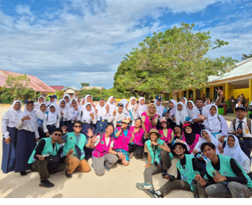
SADAR Team with students of SMPN 4 Pasilambena – captured by Dicky from Institut Teknologi Bandung
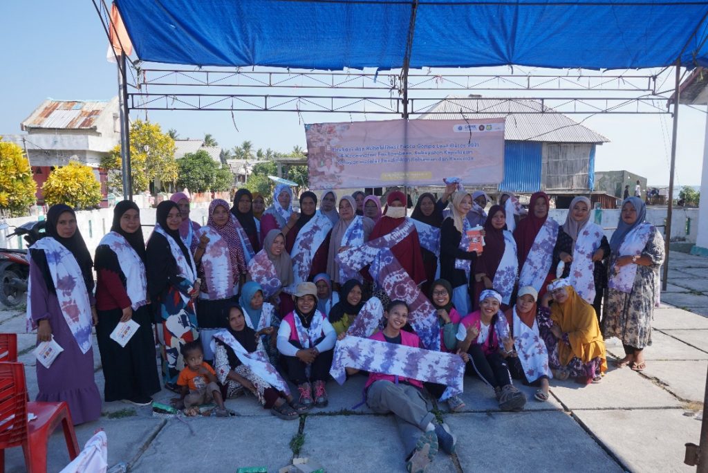
Women participating in tie-dye activities with the SADAR Team – captured by Arfa from Rumah Baca Saku Selayar
Aside from enjoying the ocean views during the long voyage, we were thrilled to see the community’s enthusiasm during our earthquake mitigation socialisation programs on Madu and Karumpa Islands. The SADAR team packaged earthquake mitigation with trauma healing activities, such as making crafts—fabric dolls and tie-dye for women, and origami collages for elementary and junior high school students. Interactive children’s science books were also distributed as rewards for students who successfully answered questions.
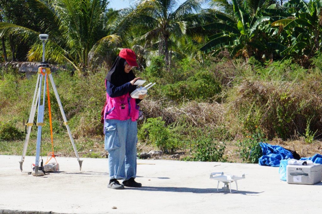
SADAR Team getting ready for drone-based mapping – captured by Arfa from Rumah Baca Saku Selayar
Beyond social activities, the program also carried a technical mission. We conducted photogrammetry mapping to obtain updated imagery of buildings on Madu and Karumpa Islands. The mapping was carried out using a Phantom 4 Pro V2.0 drone from the Survey and Mapping Laboratory of Institut Teknologi Bandung. We are grateful to the laboratory staff who continuously supported the drone testing process to ensure it functioned properly. We also acknowledge the support of Gisarutala Citra Perkasa, a national consulting firm in engineering, management, and operations, which supported us by providing extra drone batteries that contributed to the success of the mapping. This mapping activity was further supported by our friends from Rumah Baca Saku Selayar, Reza and Syukur, whose expertise is in filmmaking, and who generously helped us in the mapping process. During the mapping, we shared with them how to use handheld GNSS devices and explained the purpose of the mapping.
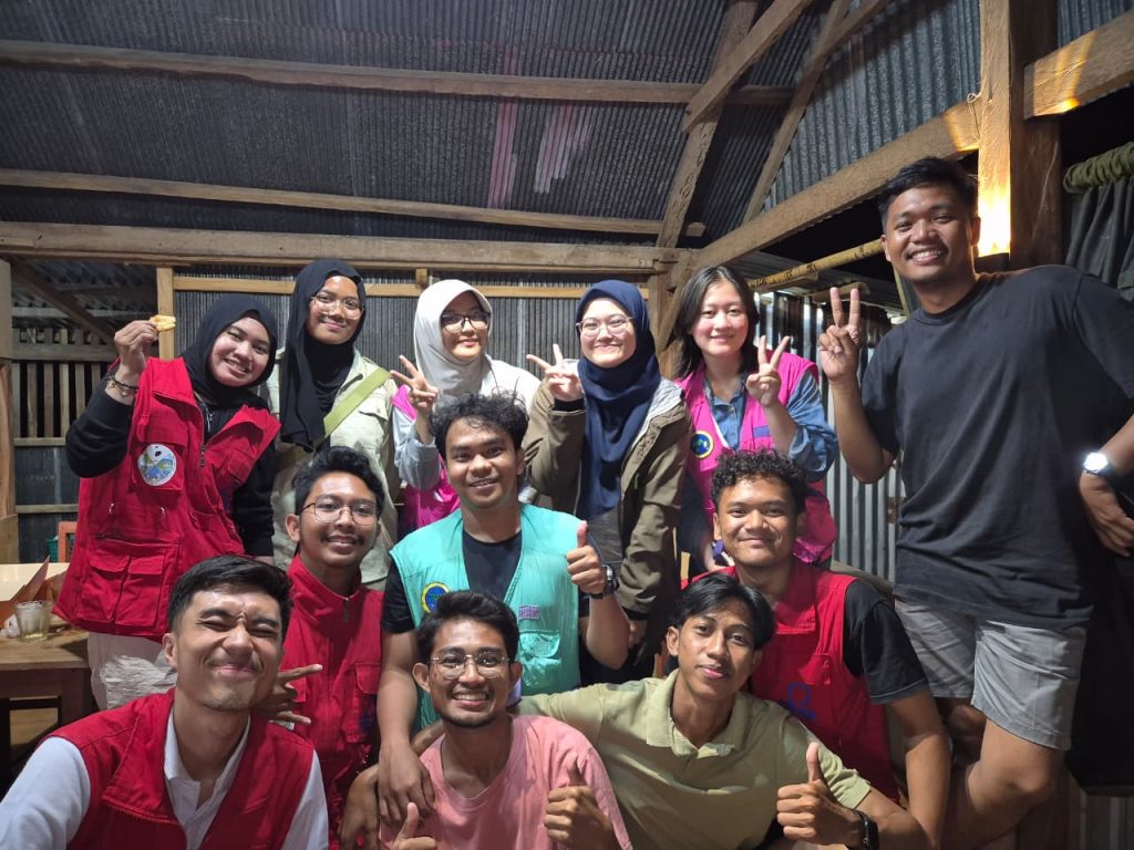
Students participating in the community service program (Personal documentation)
The long journey, new faces, and the unique environment of Pasilambena left us reflecting on how many things in life we should be grateful for. On our way back, we met sick patients and a pregnant woman who had to endure a full day’s sea journey just to access proper healthcare. This community service program not only enriched our technical and social knowledge but also reminded us to give thanks continually to God.