Written by: Eka Djunarsjah
In Indonesia’s Karimunjawa National Park, effective marine spatial planning is proving to be less about maps and more about people. A recent study in the villages of Desa Karimunjawa and Desa Kemujan highlights that understanding local livelihoods and knowledge is key to successful ocean management.
While both villages rely on traditional, small-scale fishing, their economies are distinct.
- Desa Karimunjawa: As the main tourist hub, it offers diverse incomes. Fishers can supplement their earnings through tourism-related work like guiding or running homestays.
- Desa Kemujan: Being more remote, it depends almost entirely on fishing, making it more vulnerable to environmental changes.
This economic divide shapes the community’s relationship with the sea and their aspirations for the future. The archipelago’s stunning natural beauty is the heart of its identity and economy, supporting both tourism and fishing. Protecting this precious environment requires a balanced system of governance and zoning for future generations.

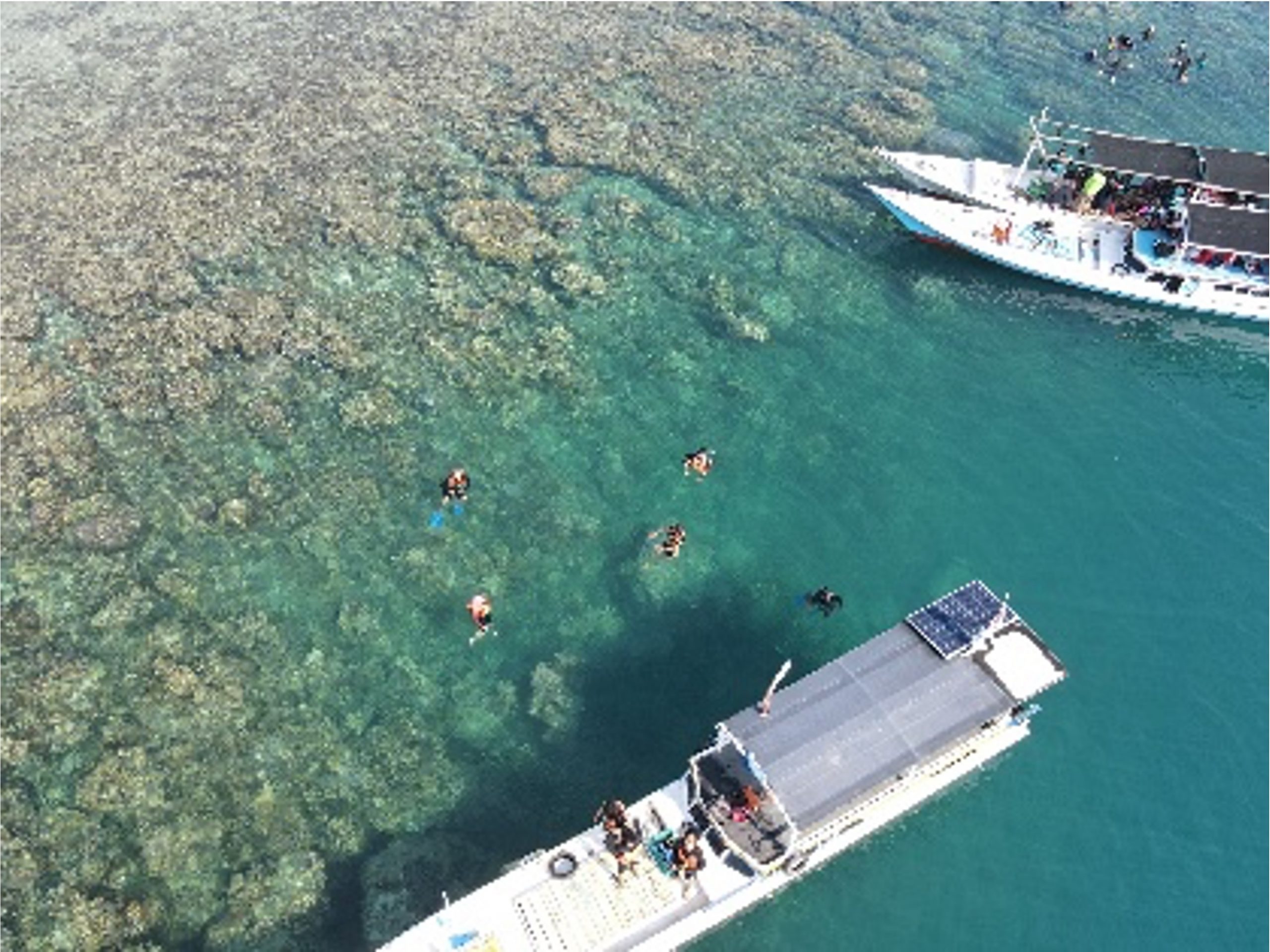
Figure 1. From the Sky to the Sea Karimunjawa’s Coastal Pulse
The park’s zoning system, managed by the Karimunjawa National Park Authority (BTNK), is designed to balance conservation and use. However, the immediate economic need to provide for families can conflict with regulations. Furthermore, many fishers navigate using traditional knowledge passed down through generations rather than GPS or formal maps. As one Kemujan fisher explained, “We know our sea like our backyard – by feeling and memory, not by looking at a map.” This reliance on memory means awareness of exact zone boundaries is often low, which can lead to unintentional rule-breaking or the underutilization of legally permitted fishing areas.
The use of marine space is not without friction. Key challenges include competition over prime fishing spots, damage to vital coral reefs from past destructive practices, and resentment over the encroachment of outside fishers who often operate illegally. Additionally, residents of Desa Kemujan feel largely excluded from the tourism benefits centered in the main village, fostering a sense of inequity.
The clear lesson from Karimunjawa is that genuine community participation is essential. Historically, top-down policies have left locals feeling unheard. The future of sustainable marine management lies in integrating local expertise into the planning process. By strengthening existing community groups like the joint business groups (KUB) and community surveillance groups (Pokmaswas), improving communication with clear and simple maps, and ensuring local voices are part of decision-making, conservation and community well-being can proceed hand-in-hand. The most valuable maps, it turns out, are the social ones drawn from community knowledge and experience.
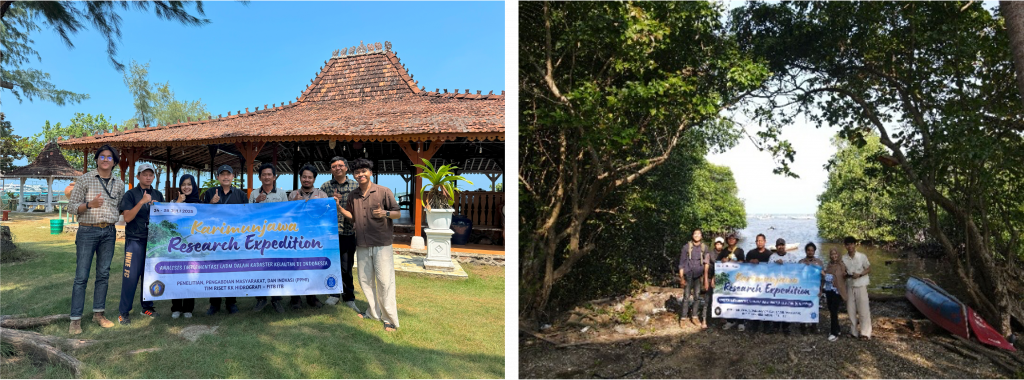
Figure 2. Bridging Research and Community Dialogues with Karimunjawa’s Local Leaders