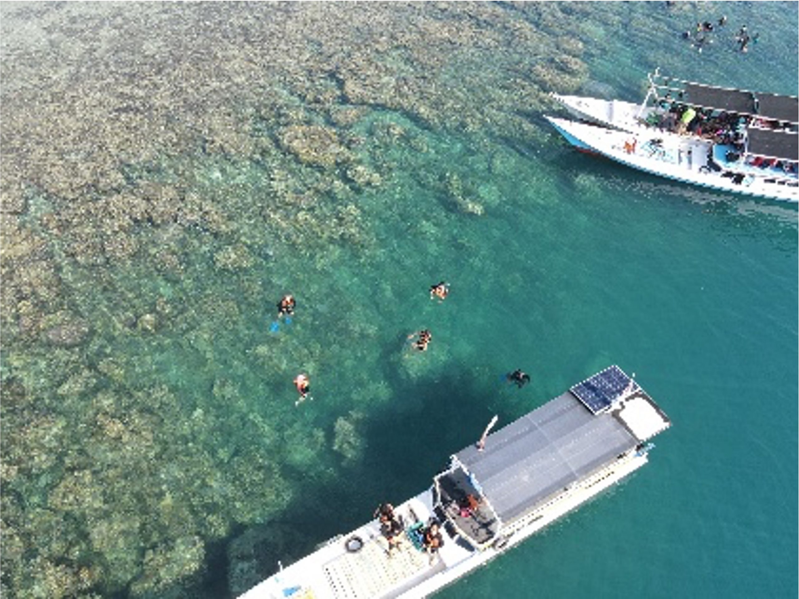
Written by: Eka Djunarsjah In Indonesia’s Karimunjawa National Park, effective marine spatial planning is proving to be less about maps and more about people. A recent study in the villages of Desa Karimunjawa and Desa Kemujan highlights that understanding local livelihoods and knowledge is key to successful ocean management. While both villages rely on traditional,…
Read MoreKalender
Recent Posts
- Integrating Geospatial and Inland Hydrographic Perspectives for Rainwater-Based Clean Water Solutions in Merauke
- SEARIBU: Initiating Sustainable Tourism Management in the Thousand Islands
- Beyond the Sea with SADAR ITB Team Exploring Pasilambena
- Beyond the Reef: How Coastal Communities Shape Marine Spatial Planning in Karimunjawa
- Satellite Derived Bathymetry (SDB) and Its Potential Role in Determining Maritime Boundaries
