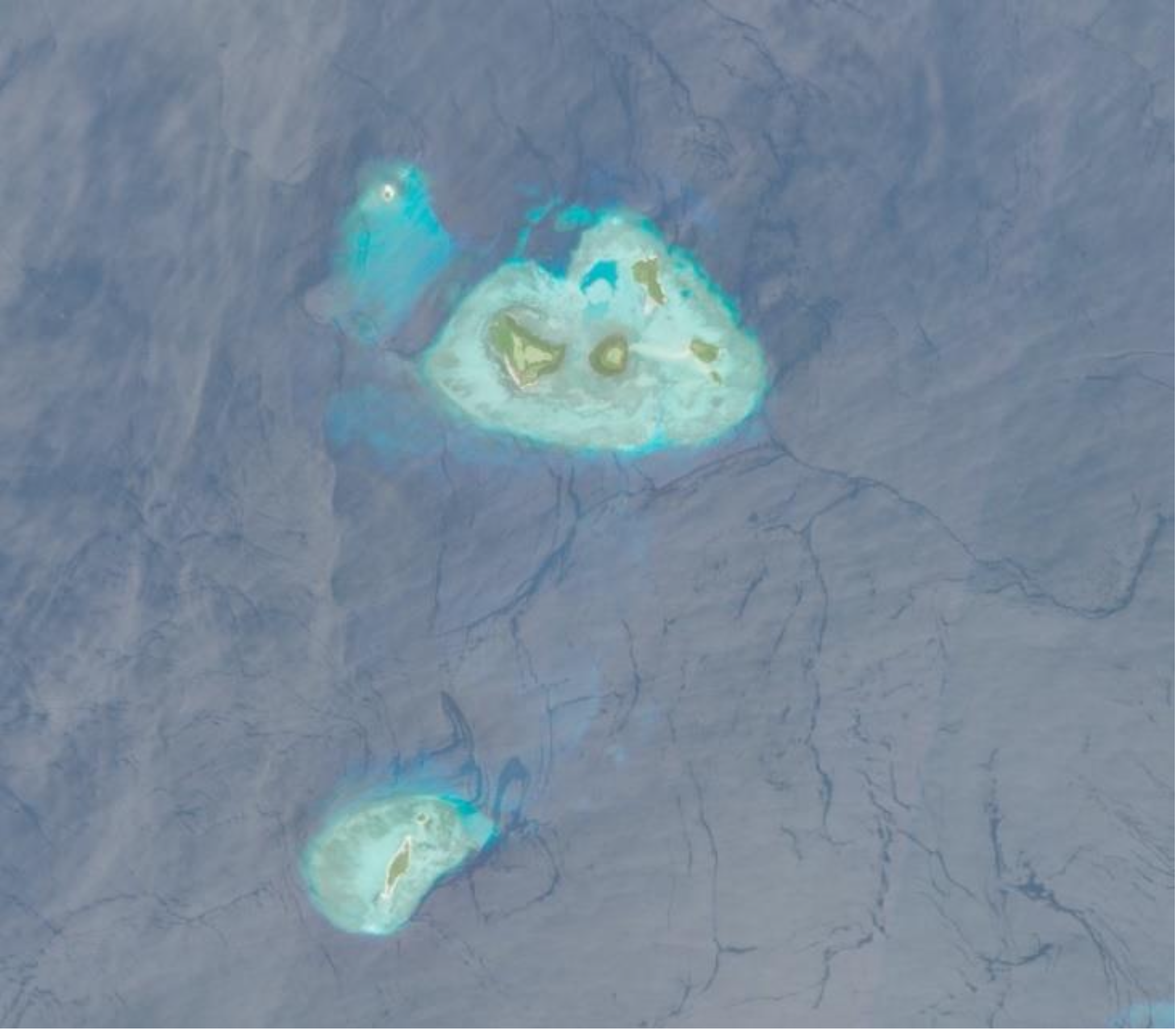
Featured image: Copernicus Data Space, Sentinel-2 Imagery. Written by: Eka Djunarsjah Satellite Derived Bathymetry (SDB) is a method for estimating shallow water depths using optical satellite imagery. Unlike conventional bathymetric surveys that rely on ships with echo sounders (such as Single Beam or Multibeam Echo Sounders) or airborne LiDAR, SDB leverages the ability of sunlight…
Read MoreKalender
Recent Posts
- Integrating Geospatial and Inland Hydrographic Perspectives for Rainwater-Based Clean Water Solutions in Merauke
- SEARIBU: Initiating Sustainable Tourism Management in the Thousand Islands
- Beyond the Sea with SADAR ITB Team Exploring Pasilambena
- Beyond the Reef: How Coastal Communities Shape Marine Spatial Planning in Karimunjawa
- Satellite Derived Bathymetry (SDB) and Its Potential Role in Determining Maritime Boundaries
