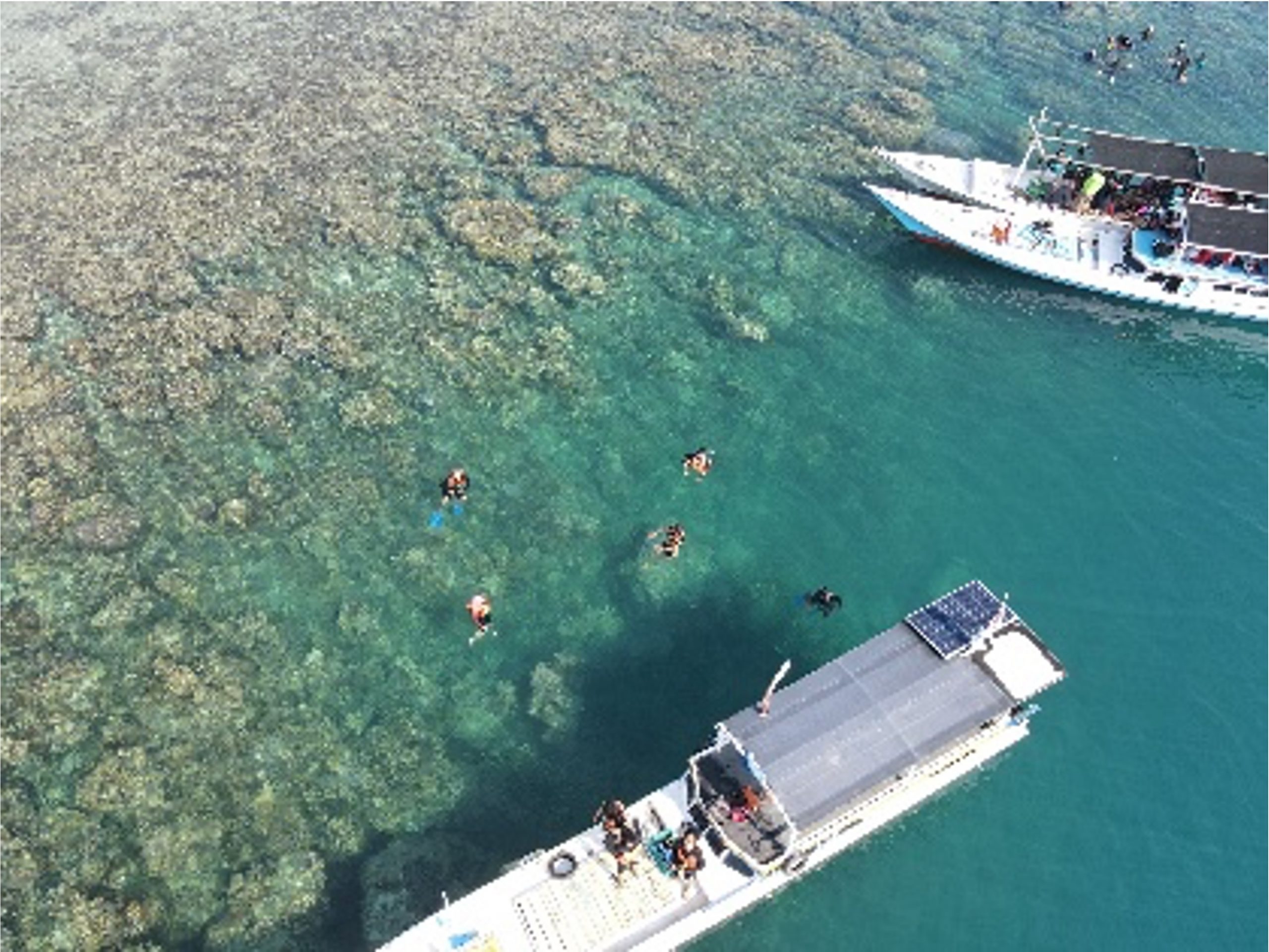
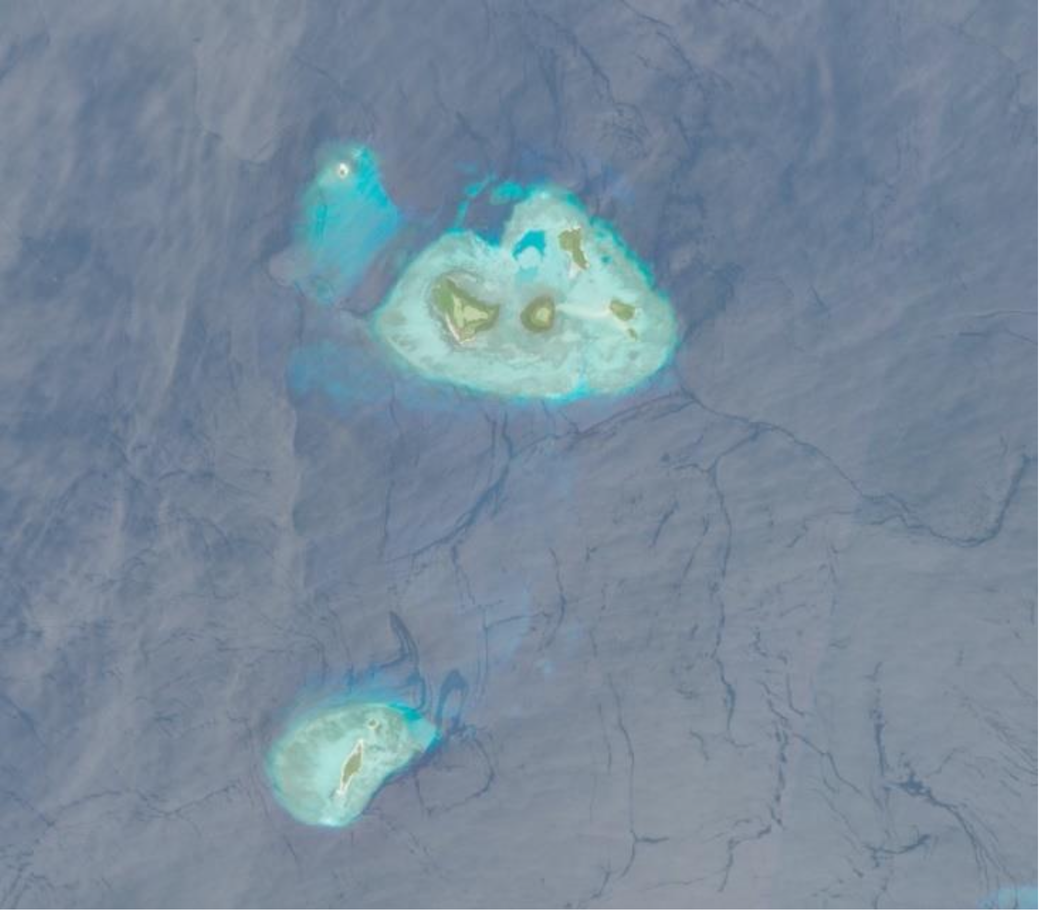
Written by: Eka Djunarsjah In Indonesia’s Karimunjawa National Park, effective marine spatial planning is proving to be less about maps and more about people. A recent study in the villages of Desa Karimunjawa and Desa Kemujan highlights that understanding local livelihoods and knowledge is key to successful ocean management. While both villages rely on traditional,…
Read MoreFeatured image: Copernicus Data Space, Sentinel-2 Imagery. Written by: Eka Djunarsjah Satellite Derived Bathymetry (SDB) is a method for estimating shallow water depths using optical satellite imagery. Unlike conventional bathymetric surveys that rely on ships with echo sounders (such as Single Beam or Multibeam Echo Sounders) or airborne LiDAR, SDB leverages the ability of sunlight…
Read MoreFeatured image is private assets Written by Madam Taqiyya During the rainy season, you might hear someone say, “Let’s go out before 4 p.m., because it will probably rain after that.” How do they know? Perhaps, without even realizing it, they have learned to recognize the diurnal rainfall pattern in their area. Diurnal rainfall pattern means repeated…
Read More