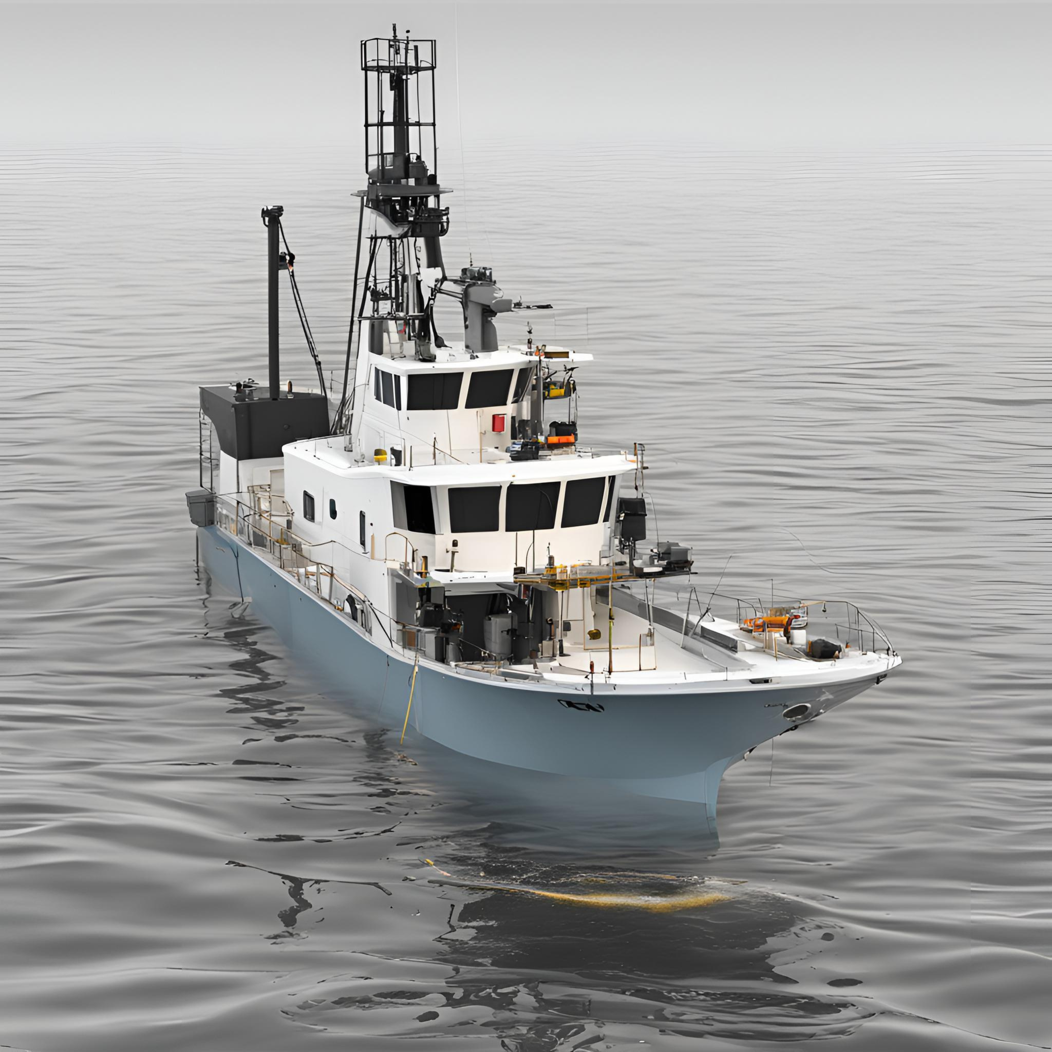
Written by: Poerbandono The mapping of seafloor topography has been largely relying on standard hydrographic echosounders. Sounds propagate effectively in seawater. Their natures are well recognized and become the basis of knowledge in the design of underwater surveys’ technology. With that, sonar devices (including echosounders) are hence developed and fortified with specific features for different…
Read MoreKalender
Recent Posts
- Gapuro Sagoro Seamount: A pivotal gateway towards scientific discoveries in Indonesian frontier areas
- Real-time Underwater Photogrammetry: Assessing Challenges, Benefits, and Limitations for Underwater Navigation and Mapping with Optical Sensors.
- Standard Hydrographic Echosounders might Underestimate Depths: Bathymetric Surveys in Shallow Muddy Environments
- Survey of Reference Points in the Malacca Strait
- UN-GGCE International Workshop on the Integration of Terrestrial, Maritime, Built and Cadastral Domains: “Joining Land and Sea”