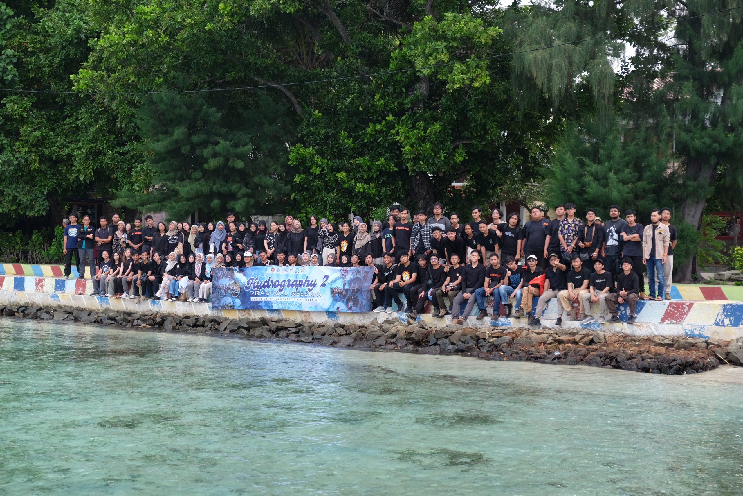
Written by: Adrian Lubis (15121016) and Putri Nur Azizah (15121011) On 3-5 May 2024, we carried out Hydrography II Practical Session in Pramuka Island, north of Jakarta, as part of the mandatory courses of the third year batch of Geodesy and Geomatics Engineering Undergraduate Programme. In this course, we focused on the dynamics of the…
Read MoreKalender
Recent Posts
- Gapuro Sagoro Seamount: A pivotal gateway towards scientific discoveries in Indonesian frontier areas
- Real-time Underwater Photogrammetry: Assessing Challenges, Benefits, and Limitations for Underwater Navigation and Mapping with Optical Sensors.
- Standard Hydrographic Echosounders might Underestimate Depths: Bathymetric Surveys in Shallow Muddy Environments
- Survey of Reference Points in the Malacca Strait
- UN-GGCE International Workshop on the Integration of Terrestrial, Maritime, Built and Cadastral Domains: “Joining Land and Sea”