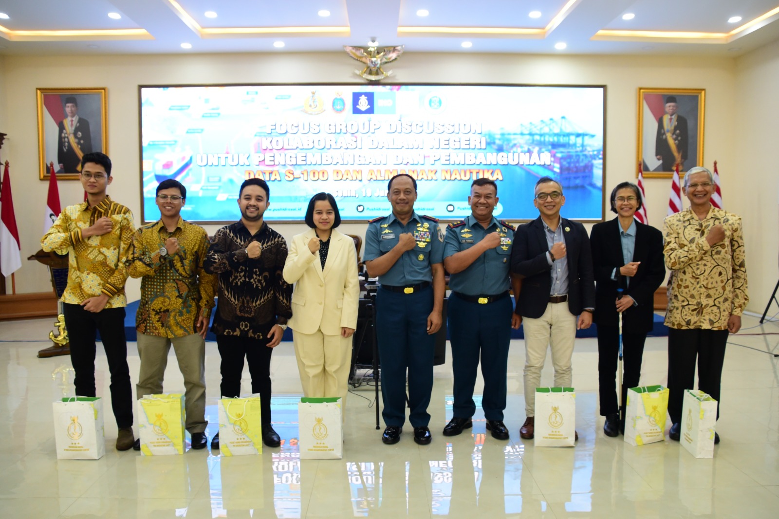
Written by: Hanif Satrio Dwiandoko (15119076) and Farras Hafizh Rizqy (15119071) Since the birth of Electronical Navigational Charts (ENC) in the early 1990s, the International Hydrographic Organization (IHO) released the S-57 standard as digital hydrographic data has become a critical element in ensuring safety in marine navigation. In response to the developments in the world…
Read MoreKalender
Recent Posts
- Integrating Geospatial and Inland Hydrographic Perspectives for Rainwater-Based Clean Water Solutions in Merauke
- SEARIBU: Initiating Sustainable Tourism Management in the Thousand Islands
- Beyond the Sea with SADAR ITB Team Exploring Pasilambena
- Beyond the Reef: How Coastal Communities Shape Marine Spatial Planning in Karimunjawa
- Satellite Derived Bathymetry (SDB) and Its Potential Role in Determining Maritime Boundaries
